Martha's Vineyard Airport
Videos
Page
Martha's Vineyard Airport is a public airport located in the middle of the island of Martha's Vineyard, three miles (5 km) south of the central business district of Vineyard Haven, in Dukes County, Massachusetts, United States. This airport is owned by Dukes County and lies on the border between the towns of West Tisbury and Edgartown.

Martha's Vineyard Airport

Cape Air plane at Martha's Vineyard Airport ramp in 2001
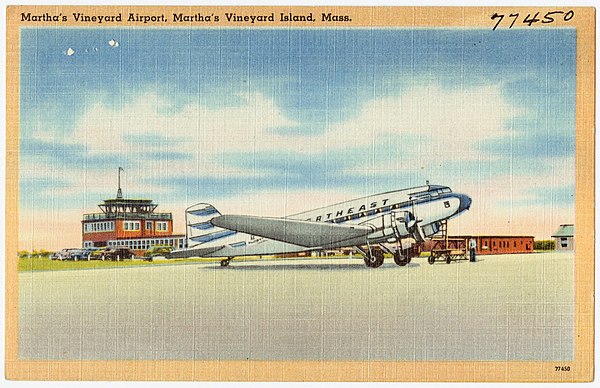
Postcard image c. 1940s, showing a Northeast DC-3

JetBlue ERJ-190 at the commercial ramp
Martha's Vineyard
Videos
Page
Martha's Vineyard, often simply called the Vineyard, is an island in the Northeastern United States, south of Cape Cod in Dukes County, Massachusetts, known for being a popular, affluent summer colony. Martha's Vineyard includes the smaller adjacent Chappaquiddick Island, a peninsula, currently connected to the Vineyard. It is the 58th largest island in the U.S., with a land area of about 96 square miles (250 km2), and the third-largest on the East Coast, after Long Island and Mount Desert Island. Martha's Vineyard constitutes the bulk of Dukes County, which also includes the Elizabeth Islands and the island of Nomans Land.
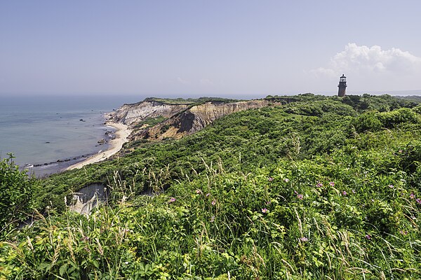
Gay Head Cliffs and Lighthouse, Aquinnah

Old Whaling Church, Edgartown Village Historic District
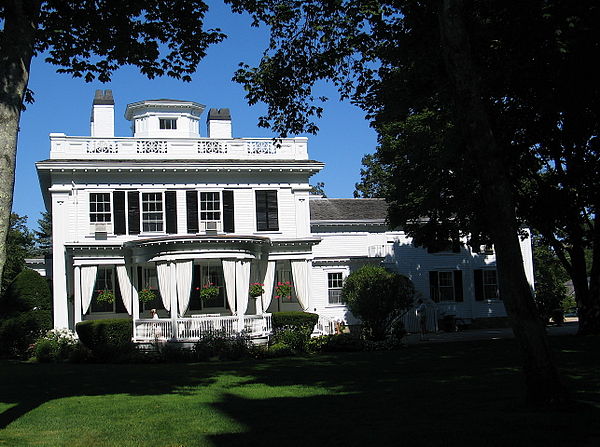
Historic house next to the Whaling Church
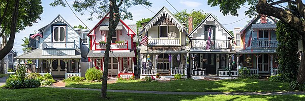
Gingerbread cottages at Wesleyan Grove, Oak Bluffs