Maryland Route 224 is a state highway in the U.S. state of Maryland. The highway runs 26.70 miles (42.97 km) from MD 6 at Riverside north to MD 227 at Pomonkey. MD 224 is a C-shaped route that mostly parallels the Potomac River through southwestern Charles County. The northern part of the highway passes through the villages of Chicamuxen, Rison, Marbury, and Mason Springs on the south side of Mattawoman Creek. MD 224 originally included Livingston Road north from Pomonkey through Accokeek, Piscataway, and Oxon Hill in southwestern Prince George's County to Washington, D.C. This highway connected Washington with Fort Washington and the Naval Proving Ground at Indian Head.
View south at the north end of MD 224 at MD 227 in Pomonkey
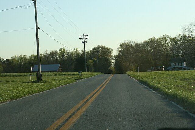
MD 224 southbound on Riverside Road near Chicamuxen
Maryland Route 6 is a state highway in the U.S. state of Maryland. The state highway runs 47.36 miles (76.22 km) from a dead end at the Potomac River in Riverside east to MD 235 in Oraville. MD 6 connects several small communities in southern Charles County and northern St. Mary's County with U.S. Route 301 in La Plata, the county seat of Charles County, and MD 5 in Charlotte Hall. The state highway also provides access to multiple historic sites around Port Tobacco, the original county seat of Charles County. MD 6 was one of the original highways numbered by the Maryland State Roads Commission in 1927. The state highway was constructed from La Plata to Riverside in the late 1910s and early 1920s. The La Plata–Charlotte Hall section of the highway was built in the mid-1920s. The portion of MD 6 east of Charlotte Hall was mostly built in the late 1920s and early 1930s. The final section of the state highway was completed in Oraville in 1940.
MD 6 westbound east of La Plata
View east along MD 6 near MD 5 in Charlotte Hall
MD 6 westbound in Dentsville