Maryland Route 413
Videos
Page
Maryland Route 413 is a 14.61-mile (23.51 km) state highway in Somerset County in the U.S. state of Maryland. The route runs from a dead end at Crisfield's city dock, which is located on the Tangier Sound, northeast to U.S. Route 13 in Westover. It is the main highway leading into Crisfield, and is known as Crisfield Highway for much of its length. The highway travels through mostly rural areas of farms and woods as well as the communities of Hopewell, Marion Station, and Kingston. It is a two-lane undivided road for most of its length; a portion of the road in Crisfield is a four-lane road that follows a one-way pair. MD 413 is part of two scenic routes: Chesapeake Country Scenic Byway and the Beach to Bay Indian Trail; both are Maryland Scenic Byways.

West Main Street (MD 413) in downtown Crisfield

A view of the route south of Lovers Lane, in autumn.

View north along MD 413 at MD 361 in Westover

View of MD 413 in Marion Station, with the railroad bed visible just to the east of it
Crisfield, Maryland
Videos
Page
Crisfield is a city in Somerset County, Maryland, United States, located on the Tangier Sound, an arm of the Chesapeake Bay. The population was 2,515 at the 2020 census. It is included in the Salisbury, Maryland-Delaware Metropolitan Statistical Area. Crisfield has the distinction of being the southernmost incorporated city in Maryland.

Crisfield water tower

Crisfield's waterfront and town pier
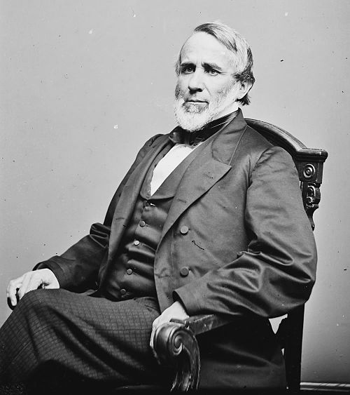
John W. Crisfield was president of the Eastern Shore Railroad and brought the railroad to what is now Crisfield.

Flooding from Hurricane Sandy