Maryland Route 725 is a state highway in the U.S. state of Maryland. The state highway runs 1.86 miles (2.99 km) from Brown Station Road east to U.S. Route 301 within Upper Marlboro. MD 725 is the old alignment of MD 4 through the county seat of Prince George's County. What is now MD 725 was constructed in the mid- to late 1910s and became MD 4 in 1927. After MD 4 bypassed Upper Marlboro in the early 1960s, the old highway through town became part of MD 408. After the Prince George's County segments of MD 408 were removed in the late 1970s, the remaining state-maintained highway through Upper Marlboro became MD 725.
View west along MD 725 in Upper Marlboro
MD 725 westbound approaching MD 717 in Upper Marlboro
U.S. Route 301 in Maryland
U.S. Route 301 (US 301) in the state of Maryland is a major highway that runs 122.85 miles (197.71 km) from the Governor Harry W. Nice Memorial Bridge over the Potomac River into Virginia northeast to Delaware. It passes through three of Maryland's four main regions: Southern Maryland, the Baltimore-Washington Metropolitan Area, and the Eastern Shore. US 301 serves mainly as a bypass of Baltimore and Washington, D.C. from Virginia to Delaware.
View north along US 301 just after crossing the Nice Bridge
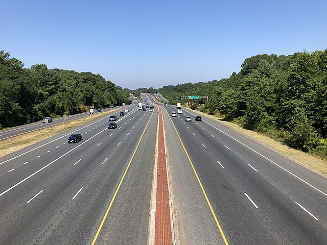
US 301 northbound past MD 382 in Croom
US 50 westbound/US 301 southbound at the MD 665 exit in Parole
US 301 northbound past the MD 299 intersection in Cecil County