Maryland Route 91 is a state highway in the U.S. state of Maryland. The state highway runs 7.86 miles (12.65 km) from MD 32 at Gamber north to MD 30 near Upperco. MD 91 connects southeastern Carroll County and the far western part of Baltimore County south of Hampstead with MD 140 at Finksburg. The state highway was paved at Finksburg in the early 1910s. The remainder of MD 91 was constructed in the mid- to late 1920s.
View south along MD 91 at MD 140 in Finksburg
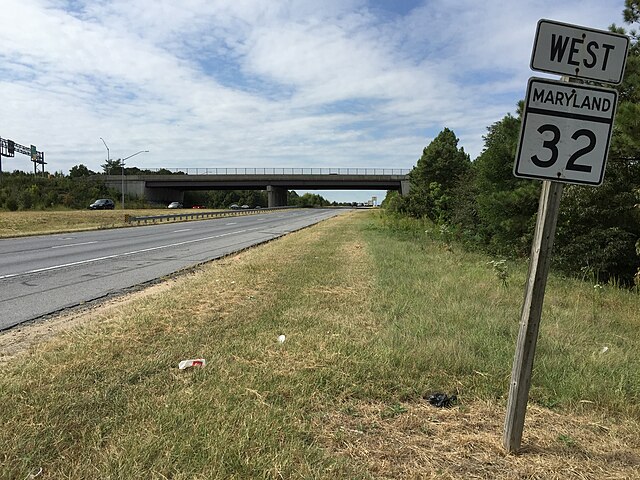
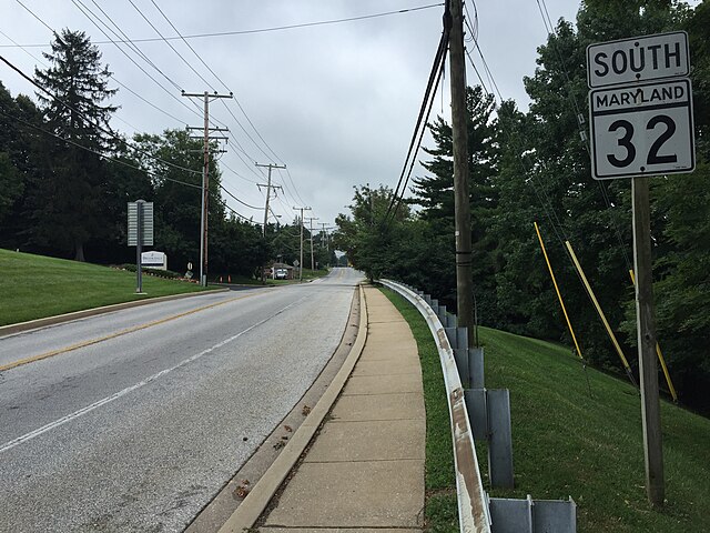
Maryland Route 32 (MD 32) is a state highway in the U.S. state of Maryland. The road runs 51.79 miles (83.35 km) from Interstate 97 (I-97) and MD 3 in Millersville west and north to Washington Road in Westminster. The 30 mile four- to six-lane freeway portion of MD 32 is the Patuxent Freeway between I-97 and I-70 in West Friendship. The freeway passes through Odenton and Fort Meade, the site of Fort George G. Meade and the National Security Agency (NSA), in western Anne Arundel County and along the southern part of Columbia in Howard County. Via I-97, MD 32 connects those communities with U.S. Route 50 (US 50)/US 301 in Annapolis. MD 32 also intersects the four primary highways connecting Baltimore and Washington: the Baltimore–Washington Parkway, US 1, I-95, and US 29. MD 32's north–south section, Sykesville Road, connects West Friendship and Westminster by way of Sykesville and Eldersburg in southern Carroll County.
View west along MD 32 in Gambrills
MD 32 westbound at Dorsey Run Road exit in Annapolis Junction
View south along MD 32 in Westminster
MD 32 northbound in Sykesville