Massachusetts Route 2
Videos
Route 2 is a 142.29-mile-long (228.99 km) major east–west state highway in Massachusetts, United States. Along with Route 9 and U.S. Route 20 to the south, these highways are the main alternatives to the Massachusetts Turnpike/I-90 toll highway. Route 2 runs the entire length of the northern tier of Massachusetts, beginning at the New York border, where it connects with New York State Route 2, and ending near Boston Common in Boston. Older alignments of Route 2 are known as Route 2A.

Convergence of Routes 2, 3, and 16 in Cambridge.

The shield for Massachusetts Route 2, located across from Boston Common
North Adams, Massachusetts
Videos
North Adams is a city in Berkshire County, Massachusetts, United States. It is part of the Pittsfield, Massachusetts Metropolitan Statistical Area. Its population was 12,961 as of the 2020 census. Best known as the home of the largest contemporary art museum in the United States, the Massachusetts Museum of Contemporary Art, North Adams has in recent years become a center for tourism, culture and recreation.
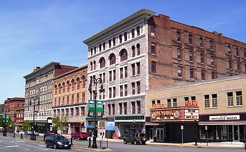
Main Street

Bird's eye view of North Adams in 1905

Norad Mill

Massachusetts Museum of Contemporary Art (MASS MoCA), formerly Arnold Print Works and a facility of Sprague Electronics