The Matobo National Park forms the core of the Matobo or Matopos Hills, an area of granite kopjes and wooded valleys commencing some 35 kilometres (22 mi) south of Bulawayo, southern Zimbabwe. The hills were formed over 2 billion years ago with granite being forced to the surface; it has eroded to produce smooth "whaleback dwalas" and broken kopjes, strewn with boulders and interspersed with thickets of vegetation. Matopo/Matob was named by the Lozwi, who are the ancestors of Kalanga. A different tradition states that the first King, Mzilikazi Khumalo when told by the local residents that the great granite domes were called madombo he replied, possible half jest, "We will call them matobo" - an IsiNdebele play on 'Bald heads'.
Sunrise in Matobo National Park, 2006
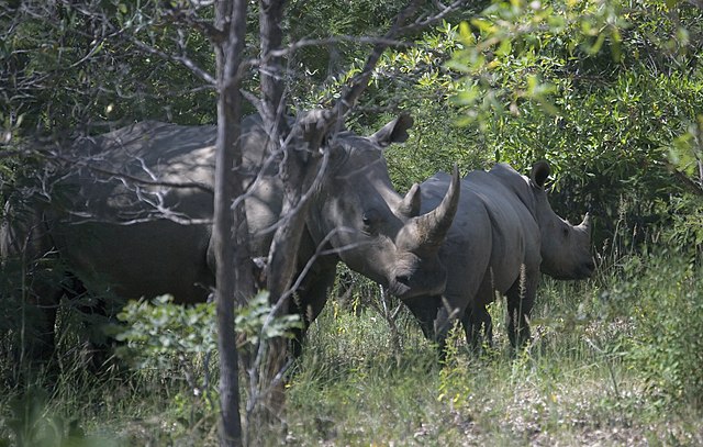
White rhino and calf in the game park, Matobo National Park
Mother and Child Kopje in the game park, Matobo National Park
Mt Effefe ca. 1900.
Bulawayo is the second largest city in Zimbabwe, and the largest city in the country's Matabeleland region. The city's population is disputed; the 2022 census listed it at 665,940, while the Bulawayo City Council claimed it to be about 1.2 million. Bulawayo covers an area of 546 square kilometres in the western part of the country, along the Matsheumhlope River. Along with the capital Harare, Bulawayo is one of two cities in Zimbabwe that are also provinces.
View of Bulawayo's Central Business District (CBD) from Pioneer House by Prince Phumulani Nyoni. The CBD is 5.4 square kilometres and is in a grid pattern with 17 avenues and 11 streets.
Bulawayo in 1976
Bulawayo City Hall
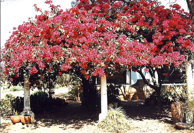
Bougainvillea outside a Bulawayo home