The island of Maui is an island in the Hawaiian archipelago, its second-largest at 727.2 square miles (1,883 km2). It is the 17th-largest in the United States. Maui is one of Maui County's five islands, along with Molokaʻi, Lānaʻi, Kahoʻolawe, and Molokini.
Landsat satellite image of Maui. The small island to the southwest is Kahoʻolawe.
Maui (center right, with Molokaʻi, Lānaʻi, and Kahoʻolawe to its left) as seen from the International Space Station
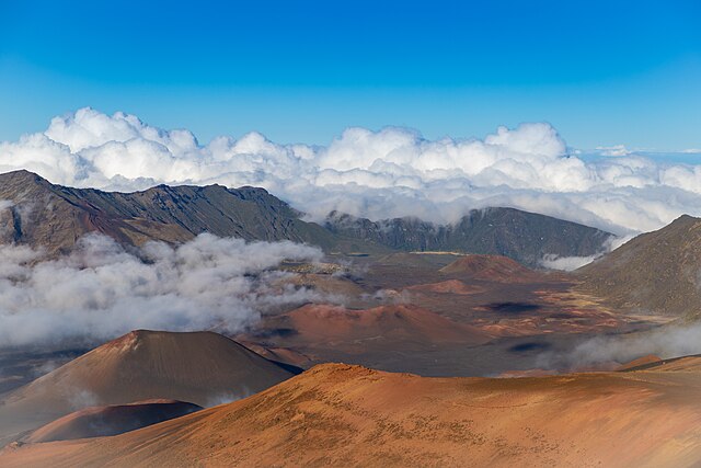
Looking into the Haleakalā crater
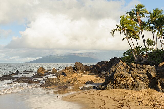
Volcanic rocks protrude on a Maui beach
The Hawaiian Islands are an archipelago of eight major volcanic islands, several atolls, and numerous smaller islets in the North Pacific Ocean, extending some 1,500 miles from the island of Hawaiʻi in the south to northernmost Kure Atoll. Formerly called the Sandwich Islands by Europeans, the present name for the archipelago is derived from the name of its largest island, Hawaiʻi.
The Windward Islands of Hawaii
Hawaiian Islands from space.
3-D perspective view of the southeastern Hawaiian Islands, with the white summits of Mauna Loa (4,170 m or 13,680 ft high) and Mauna Kea (4,207.3 m or 13,803 ft high). The islands are the tops of massive volcanoes, the bulk of which lie below the sea surface. Ocean depths are colored from violet (5,750 m or 18,860 ft deep northeast of Maui) and indigo to light gray (shallowest). Historical lava flows are shown in red, erupting from the summits and rift zones of Mauna Loa,
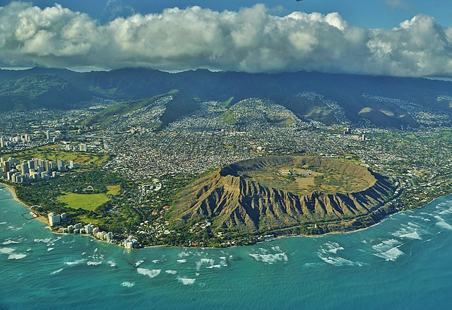
Aerial view of Lēʻahi or Diamond Head, Oʻahu


