The Maumee River is a river running in the United States Midwest from northeastern Indiana into northwestern Ohio and Lake Erie. It is formed at the confluence of the St. Joseph and St. Marys rivers, where Fort Wayne, Indiana has developed, and meanders northeastwardly for 137 miles (220 km) through an agricultural region of glacial moraines before flowing into the Maumee Bay of Lake Erie. The city of Toledo is located at the mouth of the Maumee. The Maumee was designated an Ohio State Scenic River on July 18, 1974. The Maumee watershed is Ohio's breadbasket; it is two-thirds farmland, mostly corn and soybeans. It is the largest watershed of any of the rivers feeding the Great Lakes, and supplies five percent of Lake Erie's water.
The Maumee River at Grand Rapids, Ohio
An Island in the Maumee River, Toledo, Ohio, 1909
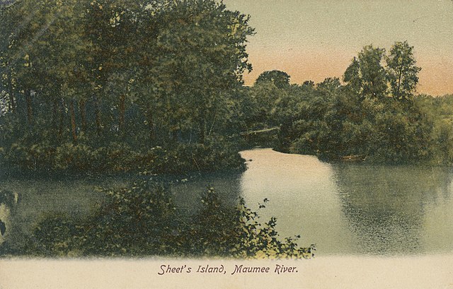
Sheet's Island, Maumee River, Maumee, Ohio, 1900s
Huffman Island, Maumee River, Toledo, Ohio, 1907
Lake Erie is the fourth-largest lake by surface area of the five Great Lakes in North America and the eleventh-largest globally. It is the southernmost, shallowest, and smallest by volume of the Great Lakes and also has the shortest average water residence time. At its deepest point Lake Erie is 210 feet (64 m) deep, making it the only Great Lake whose deepest point is above sea level.
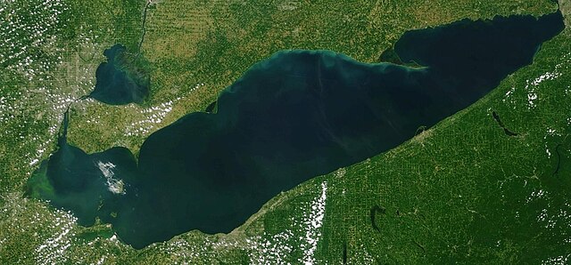
NOAA satellite image of Lake Erie from July 7, 2023. Light green swirls are algae bloom on the western edge of the lake.
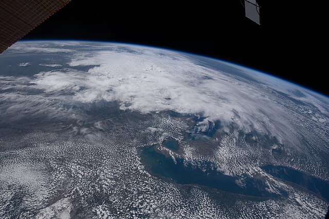
Lake Erie on May 28, 2022, taken from the International Space Station
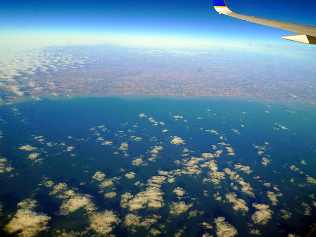
North shore in mid-December 2014
Walk in Water, built in Buffalo, was the first steamship on Lake Erie. Picture c. 1816.


