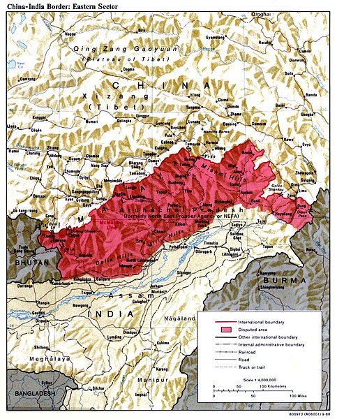
The McMahon Line is the boundary between Tibet and British India as agreed in the maps and notes exchanged by the respective plenipotentiaries on 24–25 March 1914 at Delhi, as part of the 1914 Simla Convention.
The line delimited the respective spheres of influence of the two countries in the eastern Himalayan region along northeast India and northern Burma (Myanmar), which were earlier undefined.
The Republic of China was not a party to the McMahon Line agreement,
but the line was part of the overall boundary of Tibet defined in the Simla Convention, initialled by all three parties and later repudiated by the government of China.
The Indian part of the Line currently serves as the de facto boundary between China and India, although its legal status is disputed by the People's Republic of China. The Burmese part of the Line was renegotiated by the People's Republic of China and Myanmar.
Henry McMahon
The McMahon Line forms the basis of the Line of Actual Control and the northern boundary of Arunachal Pradesh (shown in red) in the eastern Himalayas administered by India but claimed by China. The area was the eastern sector of the 1962 Sino-Indian War.
The Simla Convention, officially the Convention Between Great Britain, China, and Tibet, was an ambiguous unequal treaty concerning the status of Tibet negotiated by representatives of the Republic of China, Tibet and Great Britain in Simla in 1913 and 1914.
Tibetan, British and Chinese participants and plenipotentiaries to the Simla Treaty in 1914
Henry McMahon, the British plenipotentiary
Lonchen Shatra, the Tibetan plenipotentiary
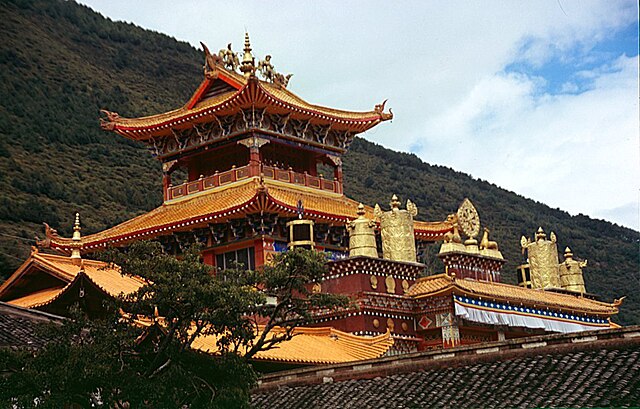
Nanwu Si monastery in Tachienlu


