Meghalaya subtropical forests
The Meghalaya subtropical forests is an ecoregion of Northeast India. The ecoregion covers an area of 41,700 square kilometers (16,100 sq mi), and despite its name, comprise not only the state of Meghalaya, but also parts of southern Assam, and a tiny bit of Nagaland around Dimapur and adjacent Bangladesh. It also contains many other habitats than subtropical forests, but the montane subtropical forests found in Meghalaya is an important biome, and was once much more widespread in the region, and for these reasons chosen as the most suitable name. The scientific designation is IM0126.
Meghalaya subtropical forests
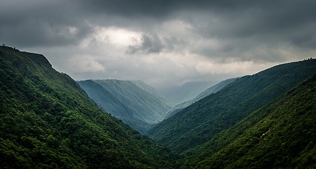
Fog and mist are persistent in these continuously moist forests
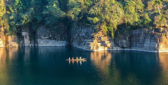
The Meghalaya forests near the border with Bangladesh
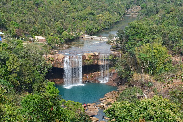
Streams and waterfalls are plentiful
Meghalaya is a state in northeast India. Meghalaya was formed on 21 January 1972 by carving out two districts from the state of Assam: (a) the United Khasi Hills and Jaintia Hills and (b) the Garo Hills. The estimated population of Meghalaya in 2014 was 3,211,474. Meghalaya covers an area of approximately 22,429 square kilometres, with a length-to-breadth ratio of about 3:1.
Image: Noakalikai falls 1480244029215
Image: Khrangsuri waterfall, Meghalaya 01
Image: Tawny Breasted Wren Babbler (Spelaeornis longicaudatus)
Image: Dawki River, Meghalaya, India


