Meltwater pulse 1A
Videos
Photos
Meltwater pulse 1A (MWP1a) is the name used by Quaternary geologists, paleoclimatologists, and oceanographers for a period of rapid post-glacial sea level rise, between 13,500 and 14,700 calendar years ago, during which the global sea level rose between 16 meters (52 ft) and 25 meters (82 ft) in about 400–500 years, giving mean rates of roughly 40–60 mm (0.13–0.20 ft)/yr. Meltwater pulse 1A is also known as catastrophic rise event 1 (CRE1) in the Caribbean Sea. The rates of sea level rise associated with meltwater pulse 1A are the highest known rates of post-glacial, eustatic sea level rise. Meltwater pulse 1A is also the most widely recognized and least disputed of the named, postglacial meltwater pulses. Other named, postglacial meltwater pulses are known most commonly as meltwater pulse 1A0, meltwater pulse 1B, meltwater pulse 1C, meltwater pulse 1D, and meltwater pulse 2. It and these other periods of rapid sea level rise are known as meltwater pulses because the inferred cause of them was the rapid release of meltwater into the oceans from the collapse of continental ice sheets.

Postglacial Sea level Rise Curve and Meltwater Pulses (MWP)
Sea level rise
Videos
Photos
Between 1901 and 2018, average global sea level rose by 15–25 cm (6–10 in), an average of 1–2 mm (0.039–0.079 in) per year. This rate accelerated to 4.62 mm (0.182 in)/yr for the decade 2013–2022. Climate change due to human activities is the main cause. Between 1993 and 2018, thermal expansion of water accounted for 42% of sea level rise. Melting temperate glaciers accounted for 21%, while polar glaciers in Greenland accounted for 15% and those in Antarctica for 8%.

Jason-1 continued the sea surface measurements started by TOPEX/Poseidon. It was followed by the Ocean Surface Topography Mission on Jason-2, and by Jason-3.

Between 1993 and 2018, the mean sea level has risen across most of the world ocean (blue colors).
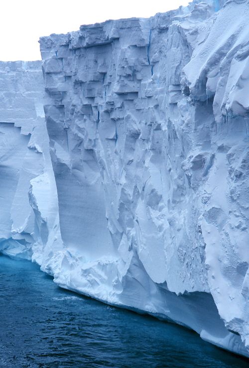
The Ross Ice Shelf is Antarctica's largest. It is about the size of France and up to several hundred metres thick.

Thwaites Glacier, with its vulnerable bedrock topography visible.