Mexican Federal Highway 15
Videos
Page
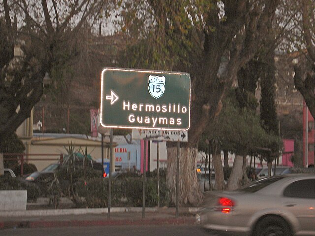
Federal Highway 15 is Mexico 15 International Highway or Mexico-Nogales Highway, is a primary north–south highway, and is a free part of the federal highways corridors of Mexico. The highway begins in the north at the Mexico–United States border at the Nogales Port of Entry in Nogales, Sonora, and terminates to the south in Mexico City.
A rare button-copy Mexico 15 guide sign at the highway's northern terminus. Likely provided by the Arizona Department of Transportation in the 1970s, this sign formerly greeted southbound motorists after crossing into Mexico through the Nogales-Grand Avenue Port of Entry.
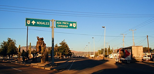
The junction between Federal Highways 2 and 15 in rural Imuris, Sonora. Fed. 2 travels east towards Agua Prieta and Ciudad Juarez while Fed. 15 continues northward towards the U.S.-Mexican border crossing in Heroica Nogales, Sonora.

Fed-15 southbound outside Culiacan, Sinaloa. The libre ("free") route into Culiacan is untolled.
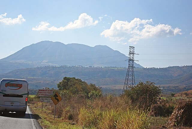
Two-lane libre (untolled) Fed-15 approaching the El Ceboruco Volcano in Nayarit.
Heroica Nogales
Videos
Page
Heroica Nogales, more commonly known as Nogales, is a city and the county seat of the Municipality of Nogales in the Mexican state of Sonora. It is located in the north of the state across the U.S.-Mexico border, and is abutted on its north by the city of Nogales, Arizona.

Signboard of 'Visit Nogales'
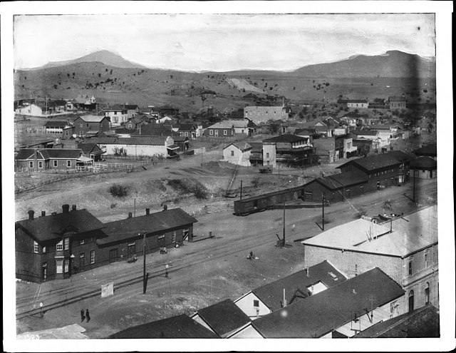
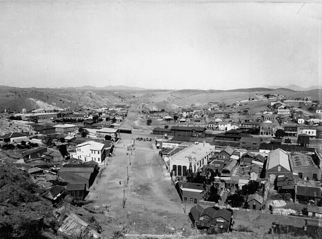
Panoramic view of the city of Nogales, Mexico, circa 1905

The tomb of Félix B. Peñaloza (Mayor of Nogales, Sonora, in August 1918) at the Panteón de los Héroes, Heroica Nogales, Sonora, Mexico
View of border in Nogales c. 1899. Arizona is on the left and Sonora is on the right.