The Middle Fork Kings River is a 37.2-mile (59.9 km) tributary of the Kings River in Kings Canyon National Park, California, in the southern Sierra Nevada. Draining 318 square miles (820 km2) – almost all of it wilderness – the Middle Fork is one of the largest wholly undeveloped watersheds in the state, with no dams or paved roads within its basin. The entire length of the Middle Fork is designated a National Wild and Scenic River.
Middle Fork at Tehipite Valley
The mouth of the Middle Fork (above) where it joins the South Fork (right) to form the Kings River (lower left)
The Kings River, is a 132.9-mile (213.9 km) river draining the Sierra Nevada mountain range in central California in the United States. Its headwaters originate along the Sierra Crest in and around Kings Canyon National Park and form the eponymous Kings Canyon, one of the deepest river gorges in North America. The river is impounded in Pine Flat Lake before flowing into the San Joaquin Valley southeast of Fresno. With its upper and middle course in Fresno County, the Kings River diverges into multiple branches in Kings County, with some water flowing south to the old Tulare Lake bed and the rest flowing north to the San Joaquin River. However, most of the water is consumed for irrigation well upstream of either point.
The Kings River in the San Joaquin Valley about 10 miles (16 km) below Pine Flat Dam
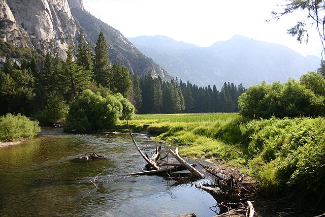
The South Fork Kings River at Zumwalt Meadow
The Kings River canyon above Pine Flat Lake
A photograph taken by Ansel Adams of the Middle Fork from the south fork of Cartridge Creek