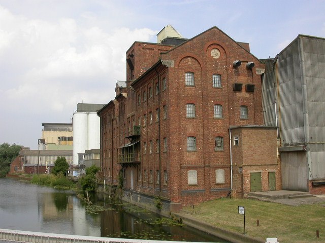
The Middle Level Navigations are a network of waterways in England, primarily used for land drainage, which lie in The Fens between the Rivers Nene and Great Ouse, and between the cities of Peterborough and Cambridge. Most of the area through which they run is at or below sea level, and attempts to protect it from inundation have been carried out since 1480. The Middle Level was given its name by the Dutch Engineer Cornelius Vermuyden in 1642, who subsequently constructed several drainage channels to make the area suitable for agriculture. Water levels were always managed to allow navigation, and Commissioners were established in 1754 to maintain the waterways and collect tolls from commercial traffic.
The Mullicourt aqueduct where the Well Creek crosses the main drain
Moorings on the Old River Nene at March
The new pumping station at Wiggenhall St Germans pumps the Middle Levels main drain. It was commissioned in 2010, and the pumps are visible through the glass wall that forms the front of the building.
Salters Lode Lock, at the end of Well Creek, showing the two sets of gates pointing in opposite directions
The River Nene is a river that flows through the east of England. At 105 miles (169 km) long, it is the tenth-longest in the United Kingdom.
The River Nene at Kislingbury Watermill, Northamptonshire
M1 Motorway viaduct over the River Nene just south of junction 16
South Bridge over the River Nene looking east with fast current warning notice displayed, 26 February 2010. On the south bank, the Cotton End district of Northampton
Victoria Mills and its jetty at Wellingborough


