Millbrae, California
Videos
Millbrae is a city located in northern San Mateo County, California, United States. To the northeast is San Francisco International Airport; San Bruno is to the northwest, and Burlingame is to the southeast. It is bordered by San Andreas Lake to the southwest. The population was 23,216 at the 2020 census.
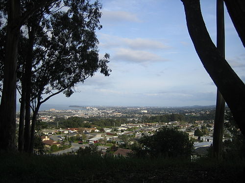
view of Millbrae, facing southeast from Junipero Serra Park, with SFO runways, the Westin SFO, and Millbrae station visible behind the trees on the left, Coyote Point Recreation Area and the San Mateo–Hayward Bridge visible behind them, The Magnolia of Millbrae, Mills-Peninsula Medical Center visible near the center of the image, and the Santa Cruz Mountains and the suburbs in their foothills on the right.

Millbrae City Hall flying (top to bottom) United States, California, & LGBTQ+ flags.
San Andreas Lake
Videos
San Andreas Lake is a reservoir adjacent to the San Francisco Peninsula cities of Millbrae and San Bruno in San Mateo County, California. It is situated directly on the San Andreas Fault, which is named after the valley it is in.


San Andreas Lake from the air, with portions of Millbrae and San Bruno in the foreground and the typical marine layer fog and clouds behind