Millthorpe, New South Wales
Millthorpe is a town located between Orange and Blayney in New South Wales, Australia in the Blayney Shire. At the 2016 census, Millthorpe had a population of 1,253 people.
The town was once a major potato growing area and continues to have extensive agricultural activities. The town was originally called Spring Grove.
High Street of Millthorpe
Commercial Hotel
Post office
Public school
Orange is a city in the Central Tablelands region of New South Wales, Australia. It is 254 km (158 mi) west of the state capital, Sydney [206 km (128 mi) on a great circle], at an altitude of 862 metres (2,828 ft). Orange had an urban population of 41,920 at the 2021 Census, making the city a significant regional centre. A significant nearby landmark is Mount Canobolas with a peak elevation of 1,395 m (4,577 ft) AHD and commanding views of the district. Orange is situated within the traditional lands of the Wiradjuri Nation.
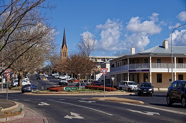
Byng Street
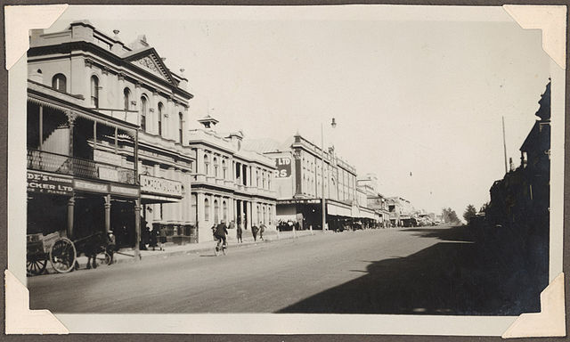
Summer Street in 1929
Orange Town Hall
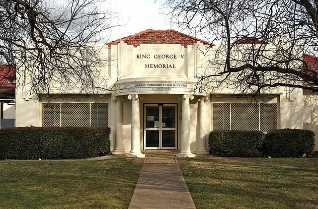
Community Health Centre on Kite Street