Minnehaha Park (Minneapolis)
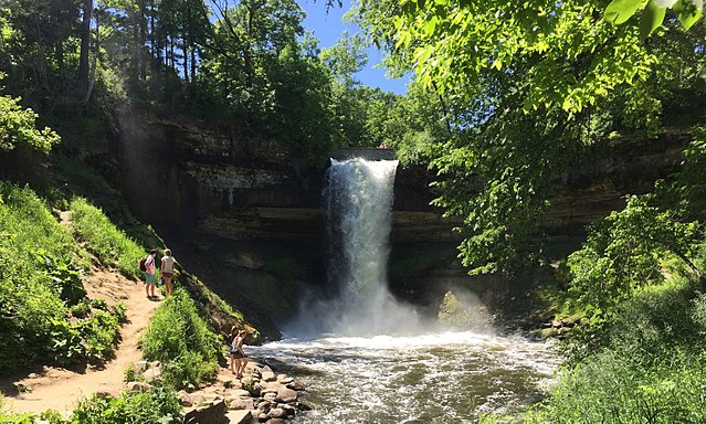
Minnehaha Park is a city park in Minneapolis, Minnesota, United States, and home to Minnehaha Falls and the lower reaches of Minnehaha Creek. Officially named Minnehaha Regional Park, it is part of the Minneapolis Park and Recreation Board system and lies within the Mississippi National River and Recreation Area, a unit of the National Park Service. The park was designed by landscape architect Horace W.S. Cleveland in 1883 as part of the Grand Rounds Scenic Byway system, and was part of the popular steamboat Upper Mississippi River "Fashionable Tour" in the 1800s.
Minnehaha Falls, June 2017
Fort Snelling in 1844, by John Caspar Wild
"Minnehaha Falls", oil on canvas, date unknown; artist Albert Bierstadt (1830 - 1902), known for his landscapes of the Westward Expansion, was the foremost painter of these scenes during the 19th century
Minnehaha Falls ~ from 1878 Minnesota guide to summer resorts
Minneapolis, officially the City of Minneapolis, is a city in and the county seat of Hennepin County, Minnesota, United States. With a population of 429,954, it is the state's most populous city as of the 2020 census. It occupies both banks of the Mississippi River and adjoins Saint Paul, the state capital of Minnesota. Minneapolis, Saint Paul, and the surrounding area are collectively known as the Twin Cities, a metropolitan area with 3.69 million residents. Minneapolis is built on an artesian aquifer on flat terrain, and is known for cold, snowy winters and hot, humid summers. Nicknamed the "City of Lakes", Minneapolis is abundant in water, with thirteen lakes, wetlands, the Mississippi River, creeks, and waterfalls. The city's public park system is connected by the Grand Rounds National Scenic Byway.
Image: Minneapolis Skyline looking south
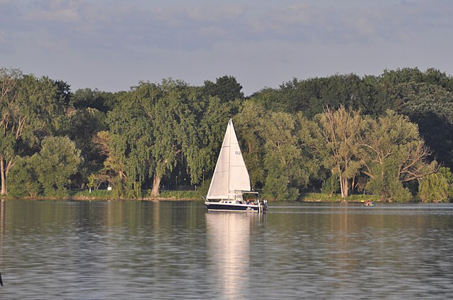
Image: Lake Nokomis 20210531
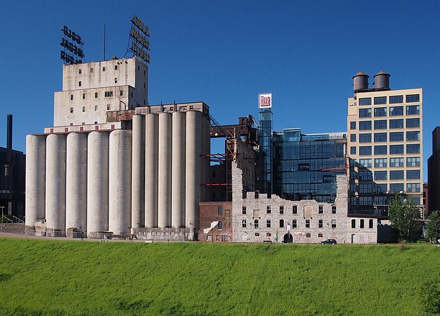
Image: Washburn A Mill 2014
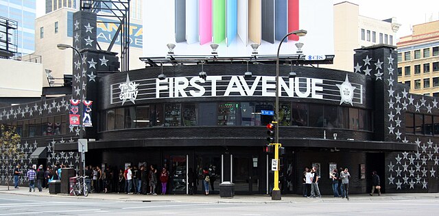
Image: First Avenue


