The Misquah Hills are a range of mountains in northeastern Minnesota, in the United States. They are located in or near the Boundary Waters Canoe Area Wilderness within Superior National Forest. Eagle Mountain, the highest point in Minnesota at 2,301 feet, is considered to be part of the Misquah Hills.
Misquah Hills from the summit of Lima Mountain
Eagle Mountain
Boundary Waters Canoe Area Wilderness
The Boundary Waters Canoe Area Wilderness comprises 1,090,000 acres (440,000 ha) of pristine forests, glacial lakes, and streams in the Superior National Forest. Located entirely within the U.S. state of Minnesota at the Boundary Waters, the wilderness area is under the administration of the United States Forest Service. Efforts to preserve the primitive landscape began in the 1900s and culminated in the Boundary Waters Canoe Area Wilderness Act of 1978. The area is a popular destination for canoeing, hiking, and fishing, and is the most visited wilderness in the United States.
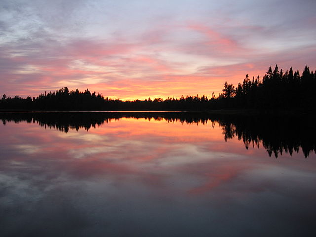
Sunset over Pose Lake, a small lake accessible only by foot.
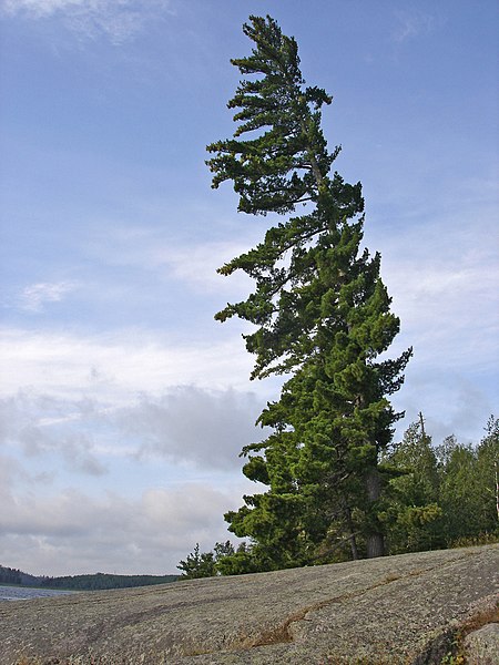
An eastern white pine growing on glacially scoured bedrock, Nina Moose Lake
Smoke from the 2011 Pagami Creek Fire
Common loon