Mission Point (Mackinac Island)
Mission Point is located on the southeast side of Mackinac Island, Michigan. It is approximately 21 acres (8.5 ha) in size between Robinson's Folly and the jetty terminating near Franks Street. The Island has a history of documented European development beginning with French Jesuit missionaries landing at the point in 1634, less than two decades after the Pilgrims landed at Plymouth Rock on the East Coast of North America.
This jetty is the western boundary of Mission Point. Looking east, this 1969 view shows the Mackinac College campus, with the Peter Howard Memorial Library and Clark Center. The eastern boundary of Mission Point, Robinson’s Folly, is in the background.
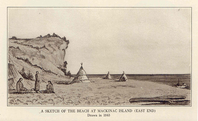
"A Sketch of the Beach at Mackinac Island (East End) Drawn in 1843." This drawing shows tepees, canoes and nativee at the shoreline, with Robinson's Folly in the background.
The Mackinac Mission House, photograph est. 1870
"Mission House and School at Mackinac Island," 1835. It shows (L-R) St. Anne's Church, 2-story Mission House, other small buildings, tepees along shoreline, and Robinson's Folly cliff in the background.
Daniel Robertson (British Army officer)
Colonel Daniel Robertson was an officer in the British Army in North America, commandant of the British post at Michilimackinac, and a landowner in Chatham Township, Canada. Born in Scotland, he first joined the 42nd Regiment of Foot, also known as the "Black Watch," and was present at the British capture of Montreal in 1760, as well as the invasion of Martinique in 1762. During the American Revolutionary War, he was an officer in the 84th Regiment of Foot, another regiment of Scots known as the Royal Highland Emigrants. In 1779, he was appointed commandant of Fort Osgewatchie and oversaw Native American raids on American settlements on the Mohawk River.
Daniel Robertson (c.1804–1808)
Robertson was present at the capture of Montreal in 1760
Mission Point beach at Mackinac Island
Fort Mackinac today