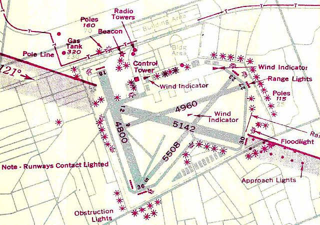
Mitchel Air Force Base, also known as Mitchel Field, was a United States Air Force base located on the Hempstead Plains of Long Island, New York, United States. Established in 1918 as Hazelhurst Aviation Field #2, the facility was renamed later that year as Mitchel Field in honor of former New York City Mayor John Purroy Mitchel, who was killed while training for the Air Service in Louisiana.
Looking west in 1968, the airfield is mainly intact.
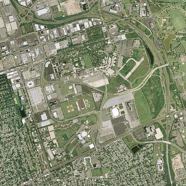
2006 USGS photo. The remains of runway 05/23 are visible in the center.
Mitchel Air Force Base
2d Fighter Squadron (All Weather) Northrop P-61Bs on parking apron at Mitchel AFB in October 1948
The Hempstead Plains is a region of central Long Island, in what is now Nassau County, in New York State. It was once an open expanse of native grassland estimated to once extend to about 60,000 acres. It was separated from the North Shore of Long Island by the Harbor Hill Moraine, later approximately Route 25. The modern Hempstead Turnpike approximately traces the separation of the plain from the South Shore of Long Island. The east–west extent was from somewhat west of the modern Queens, New York City border to slightly beyond the Suffolk County border.
The Francis T. Purcell Preserve in October 2021. Located in Uniondale, this preserve is one of the largest undisturbed areas of the Hempstead Plains.


