Mohawk Valley
Videos
The Mohawk Valley region of the U.S. state of New York is the area surrounding the Mohawk River, sandwiched between the Adirondack Mountains and Catskill Mountains, northwest of the Capital District. As of the 2010 United States Census, the region's counties have a combined population of 622,133 people. In addition to the Mohawk River valley, the region contains portions of other major watersheds such as the Susquehanna River.

Image: Schenectady skyline

Image: Utica 97 002
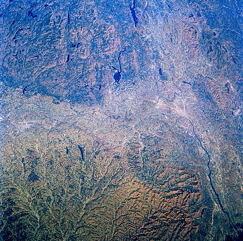
Image of the Mohawk and Hudson valleys from Space Shuttle Challenger.
Battle of Oriskany
Videos
The Battle of Oriskany was a significant engagement of the Saratoga campaign of the American Revolutionary War, and one of the bloodiest battles in the conflict between Patriot forces and those loyal to Great Britain. On August 6, 1777, several hundred of Britain's Indigenous allies, accompanied by Loyalists of the King's Royal Regiment of New York and the British Indian Department, ambushed a Patriot militia column which was marching to relieve the siege of Fort Stanwix. This was one of the few battles in which the majority of the participants were American colonists. Patriots and allied Oneidas fought against Loyalists and allied Iroquois and Mississaugas. No British regulars were involved; however, a detachment of Hessians was present.
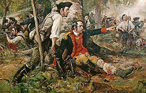
Herkimer at the Battle of Oriskany Painting by Frederick Coffay Yohn, c. 1901

The site of the ambush at Bloody Creek, New York

Lt. Col. Marinus Willett, a 1791 portrait by Ralph Earl

Mohawk Chief Joseph Brant, 1776 portrait by George Romney