The Mojave River is an intermittent river in the eastern San Bernardino Mountains and the Mojave Desert in San Bernardino County, California, United States. Most of its flow is underground, while its surface channels remain dry most of the time, except for the headwaters and several bedrock gorges in the lower reaches.
Mojave River at Afton Canyon, March 2010
Mojave River cutting through Lake Manix sediments.
Aerial view of the Mojave River from Victorville (bottom) to Johnstons Corner near Barstow (top)
Mojave River Dam Outlet
The San Bernardino Mountains are a high and rugged mountain range in Southern California in the United States. Situated north and northeast of San Bernardino and spanning two California counties, the range tops out at 11,503 feet (3,506 m) at San Gorgonio Mountain – the tallest peak in Southern California. The San Bernardinos form a significant region of wilderness and are popular for hiking and skiing.
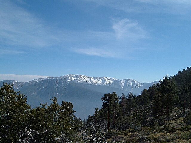
The San Bernardinos seen from near Sugarloaf Mountain
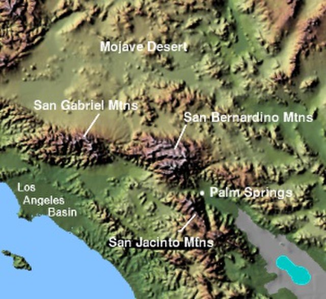
Image: Wpdms shdrlfi 020l san bernardino mountains
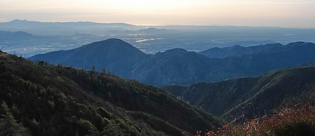
The range seen looking south from the Big Bear Valley
The mountains are named for the San Bernardino Valley, in turn named by the Spanish in 1810


