Molokai is the fifth most populated of the eight major islands that make up the Hawaiian Islands archipelago in the middle of the Pacific Ocean. It is 38 by 10 miles at its greatest length and width with a usable land area of 260 sq mi (673.40 km2), making it the fifth-largest in size of the main Hawaiian Islands and the 27th largest island in the United States. It lies southeast of Oʻahu across the 25 mi (40 km) wide Kaʻiwi Channel and north of Lānaʻi, separated from it by the Kalohi Channel.
Satellite image of Molokai
Eastern Molokai with a portion of Kamakou and Molokaʻi Forest Reserve
Halawa Bay Beach Park, located at the extreme east end of Molokai
U.S. Coast Guard Molokai Light, Kalaupapa Peninsula, northern shore of Molokai. It is listed on the National Register of Historic Places.
The Hawaiian Islands are an archipelago of eight major volcanic islands, several atolls, and numerous smaller islets in the North Pacific Ocean, extending some 1,500 miles from the island of Hawaiʻi in the south to northernmost Kure Atoll. Formerly called the Sandwich Islands by Europeans, the present name for the archipelago is derived from the name of its largest island, Hawaiʻi.
The Windward Islands of Hawaii
Hawaiian Islands from space.
3-D perspective view of the southeastern Hawaiian Islands, with the white summits of Mauna Loa (4,170 m or 13,680 ft high) and Mauna Kea (4,207.3 m or 13,803 ft high). The islands are the tops of massive volcanoes, the bulk of which lie below the sea surface. Ocean depths are colored from violet (5,750 m or 18,860 ft deep northeast of Maui) and indigo to light gray (shallowest). Historical lava flows are shown in red, erupting from the summits and rift zones of Mauna Loa,
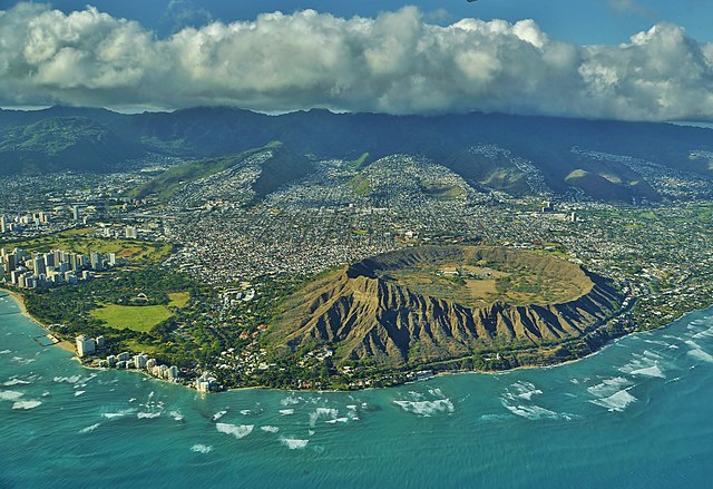
Aerial view of Lēʻahi or Diamond Head, Oʻahu


