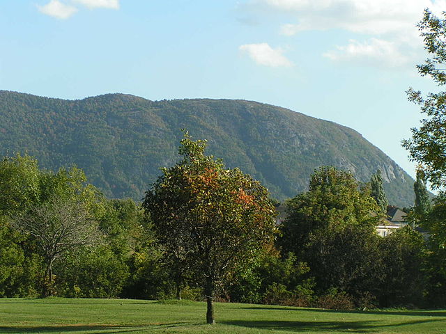
Mont Saint-Hilaire is a mountain, 414 m (1,358 ft) high, in the Montérégie region of southern Quebec. It is about thirty kilometres east of Montreal, and immediately east of the Richelieu River. It is one of the Monteregian Hills. Around the mountains are the towns of Mont-Saint-Hilaire and Saint-Jean-Baptiste. Other nearby towns include Otterburn Park, Beloeil and McMasterville.
Mont Saint-Hilaire (Dieppe and Rocky summits) seen from Otterburn Park
The western part of the mountain, seen from the North
Mont Saint-Hilaire seen from the south. The Dieppe, Rocky and Pain de Sucre summits are visible (in order) to the left
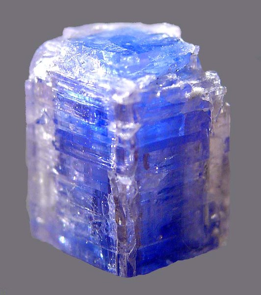
Carletonite crystal from Poudrette Quarry, Mont Saint-Hilaire, its type locality.
The Monteregian Hills is a linear chain of isolated mountains in Montreal and Montérégie, between the Laurentians and the Appalachians.
Three of the central Monteregian Hills mountains (from left: Mont Saint-Hilaire, Mont Rougemont and Mont Yamaska) viewed from space.
Four of the Monteregian Hills in the late fall
Mont Saint-Hilaire from the south
aerial view of Mont Yamaska