Montrose is a neighborhood located in west-central Houston, Texas, United States. Montrose is a 7.5-square-mile (19 km2) area roughly bounded by Interstate 69/U.S. Highway 59 to the south, Allen Parkway to the north, South Shepherd Drive to the west, and Taft to Fairview to Bagby to Highway 59 to Main to the east. The area is also referred to as Neartown or Neartown / Montrose.
Former Tower Theatre (later Acme Oyster House)
Fire Station 16 Montrose
The University of St. Thomas
Arabic Immersion Magnet School, the former High School for the Performing and Visual Arts
Montrose is an area located in west-central Houston, Texas, United States and is one of the city's major cultural areas. Montrose is a 7.5 square miles (19 km2) area roughly bounded by Interstate 69/U.S. Highway 59 to the south, Allen Parkway to the north, South Shepherd Drive to the west, and Taft to Fairview to Bagby to Highway 59 to Main to the east. Montrose neighborhoods include Cherryhurst, Courtlandt Place, Hyde Park, Montrose, Vermont Commons, North and East Montrose, Mandell Place and Winlow Place. Montrose is also less well known by the moniker Neartown, encompassing Superneighborhood #24.
The downtown Houston skyline, viewed from Montrose
Residential property in Neartown
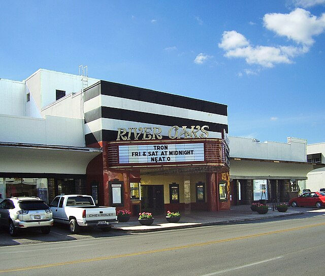
The River Oaks Theatre of Landmark Theatres, located in the River Oaks Shopping Center
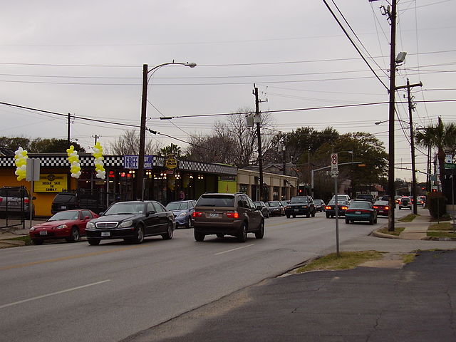
Shops along Westheimer Road—a major arterial traversing Neartown