Monument Valley
Videos
Monument Valley is a region of the Colorado Plateau characterized by a cluster of sandstone buttes, the largest reaching 1,000 ft (300 m) above the valley floor. The most famous butte formations are located in northeastern Arizona along the Utah–Arizona state line. The valley is considered sacred by the Navajo Nation, the Native American people within whose reservation it lies.

View of West Mitten Butte, East Mitten Butte, and Merrick Butte in northeastern Arizona

View of Monument Valley in Utah, looking south on U.S. Route 163 from 13 miles (21 km) north of the Utah–Arizona state line

The Monument Valley View Hotel.

Monument Valley, Apache scout
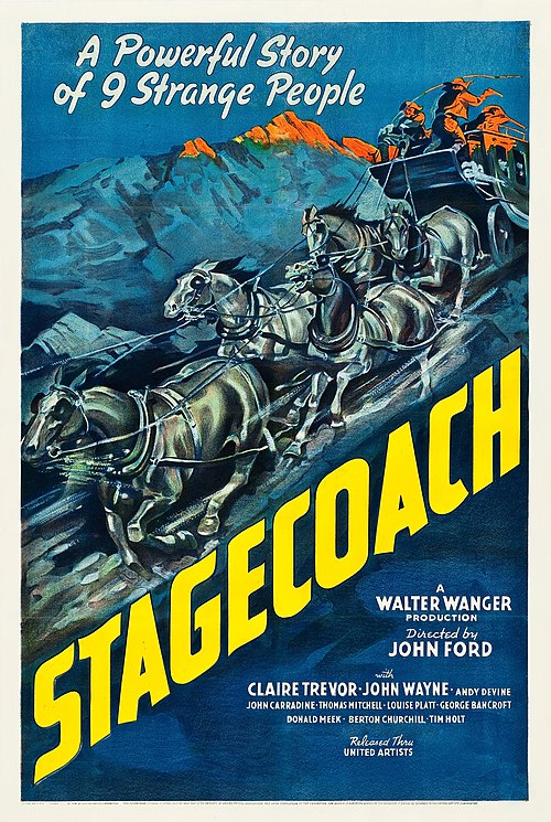
Stagecoach (1939 film)
Videos
Stagecoach is a 1939 American Western film directed by John Ford and starring Claire Trevor and John Wayne in his breakthrough role. The screenplay by Dudley Nichols is an adaptation of "The Stage to Lordsburg", a 1937 short story by Ernest Haycox. The film follows a group primarily composed of strangers riding on a stagecoach through dangerous Apache territory.

Claire Trevor

John Wayne

Andy Devine (left) and George Bancroft