Mornington Peninsula Freeway
Videos
Page
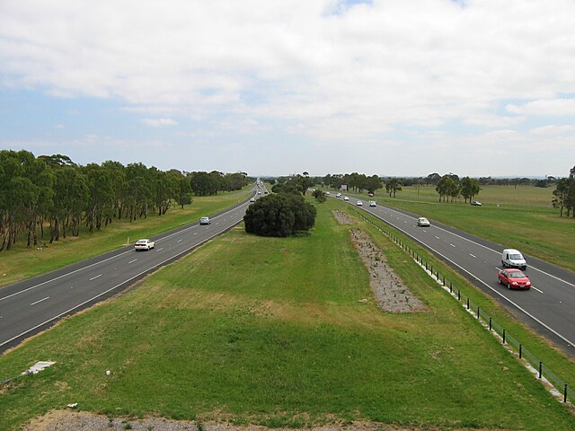
The Mornington Peninsula Freeway is a freeway in Melbourne, Victoria, Australia, that provides a link from south-eastern suburban Melbourne to the Mornington Peninsula. Whilst the entire freeway from Dingley Village to Rosebud is declared by VicRoads as the Mornington Peninsula Freeway, the section between EastLink in Carrum Downs and Moorooduc Highway in Moorooduc is locally and commonly known as Peninsula Link. The entire freeway corridor bears the designation M11.
Mornington Peninsula Freeway

Mornington Peninsula Freeway entrance at Thompson Road

Mornington Peninsula Freeway Art Installation "Panorama Station" by Louise Paramor, (16.5 metres tall) sitting on the bridge that passes over the south end of EastLink
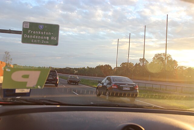
Driving northbound on Mornington Peninsula Freeway before the Frankston-Dandenong Rd Exit
Mornington Peninsula
Videos
Page
The Mornington Peninsula is a peninsula located south of Melbourne, Victoria, Australia. It is surrounded by Port Phillip to the west, Western Port to the east and Bass Strait to the south, and is connected to the mainland in the north. Geographically, the peninsula begins its protrusion from the mainland in the area between Pearcedale and an area north of Frankston. The area was originally home to the Mayone-bulluk and Boonwurrung-Balluk clans, and formed part of the Boonwurrung nation's territory prior to European settlement.

Military ruins on Point Nepean
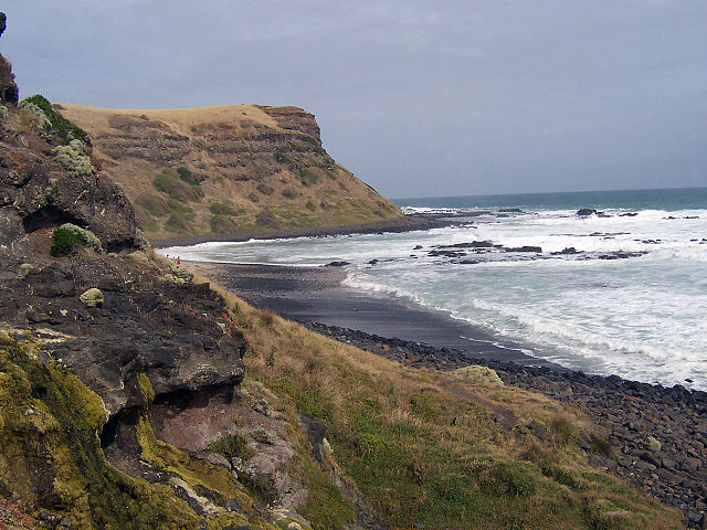
A beach on the Mornington Peninsula
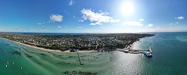
Aerial panorama of Sorrento. March 2023

Aerial panorama of Sorrento with the SeaRoad ferry and Sorrento Pier. March 2023.