Motuihe Island lies between Motutapu and Waiheke islands in the Hauraki Gulf of New Zealand, near Auckland. The island measures 179 ha, of which around 18 ha are remnants of coastal forest. The island is a recreation reserve controlled by the Department of Conservation (DOC) and administered by the Motuihe Trust. It is a popular spot for day trips, accessible from Auckland by seaplane or by private boat. The island is known for its beautiful beaches.
The beach on the northern side of the narrow western neck, separated from the southern beach by about 30 m (33 yd)
The island from the air, looking east
The wharf on the southern side of the island, with the bay behind filled with day-tripper boats
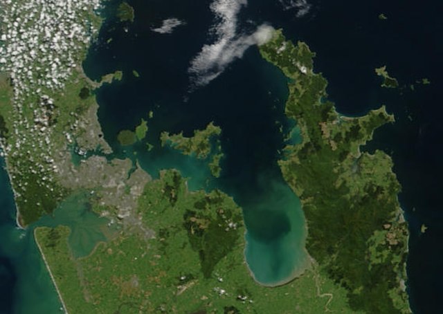
The Hauraki Gulf / Tīkapa Moana is a coastal feature of the North Island of New Zealand. It has an area of 4000 km2, and lies between, in anticlockwise order, the Auckland Region, the Hauraki Plains, the Coromandel Peninsula, and Great Barrier Island. Most of the gulf is part of the Hauraki Gulf Marine Park.
True-colour image showing the Hauraki Gulf / Tīkapa Moana, with Auckland (left) and the Coromandel Peninsula (right), by NASA's Terra satellite, 2002.
Sunset view of The Noises viewed from Waiheke Island
Farmland and native bush on Ponui Island
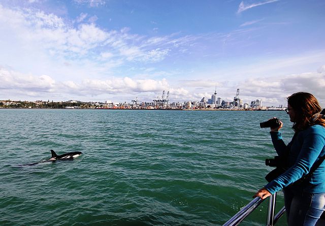
An orca swims in Waitematā Harbour, with Auckland CBD in the background.


