Mount Albert, New Zealand
Videos
Page
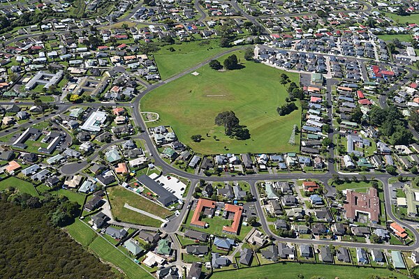
Mount Albert is an inner suburb of Auckland, New Zealand, which is centred on Ōwairaka / Mount Albert, a local volcanic peak which dominates the landscape. By 1911, growth in the area had increased to the point where Mount Albert was declared an independent borough, which was later absorbed into Auckland. The suburb is located 7 kilometres (4.3 mi) to the southwest of the Auckland City Centre.
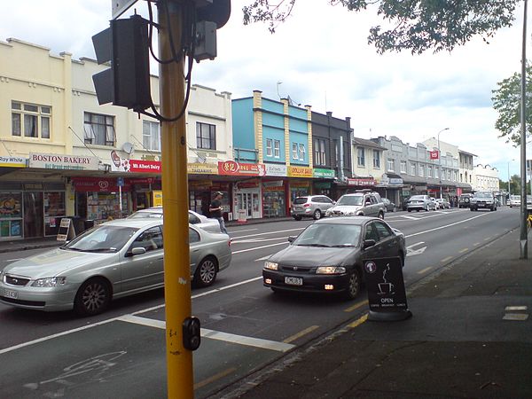
The town centre, dominated by New North Road
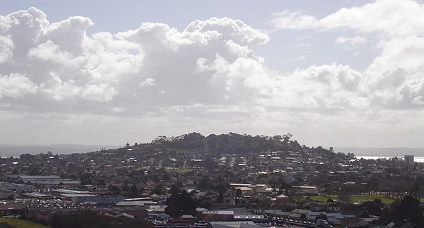
Ōwairaka / Mount Albert surrounded by the suburb in 2009

Ōwairaka / Mount Albert in an 1845 watercolour by John Guise Mitford
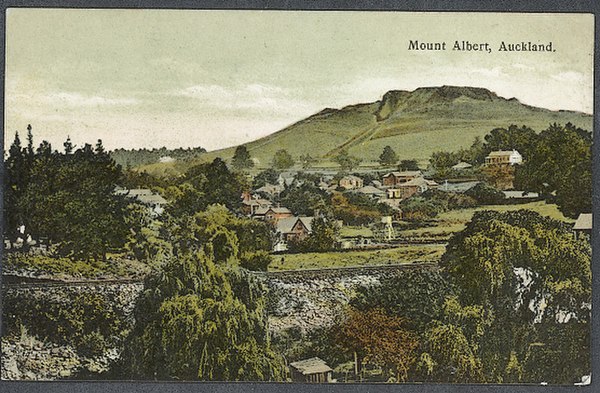
Ōwairaka / Mount Albert in a postcard, from around 1910.
Auckland volcanic field
Videos
Page
The Auckland volcanic field is an area of monogenetic volcanoes covered by much of the metropolitan area of Auckland, New Zealand's largest city, located in the North Island. The approximately 53 volcanoes in the field have produced a diverse array of maars, tuff rings, scoria cones, and lava flows. With the exception of Rangitoto, no volcano has erupted more than once, but the other eruptions lasted for various periods ranging from a few weeks to several years. Rangitoto erupted several times and recently twice; in an eruption that occurred about 600 years ago, followed by a second eruption approximately 50 years later. The field is fuelled entirely by basaltic magma, unlike the explosive subduction-driven volcanism in the central North Island, such as at Mount Ruapehu and Lake Taupō.
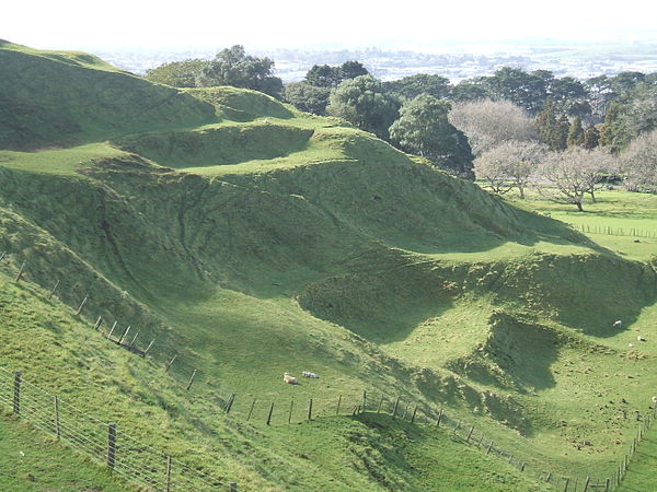
Terraces carved by Māori into the slopes of Maungakiekie / One Tree Hill

Albert Park Volcano surrounded by city buildings
Oblique aerial view of Boggust Park explosion crater from the north, 2018.

Site of Cemetery Crater beneath houses in 2018.