Mount Jefferson is the highest mountain in both the Toquima Range and Nye County in Nevada, United States. It is the sixth highest mountain in the state. As the high point of a range which is well separated from other ranges by low basins, Mount Jefferson has a high topographic prominence of 5,861 feet (1,786 m). This makes it the most prominent peak in Nye County and the third most prominent peak in Nevada. For similar reasons, it is also the highest mountain for over 90 miles in all directions. It is located about 50 miles (80 km) northeast of the county seat of Tonopah within the Alta Toquima Wilderness of the Humboldt-Toiyabe National Forest, near the smaller towns of Carvers and Round Mountain. Three distinct summits are located on a broad area of subalpine tundra: North Summit rises to 11,820 feet (3,603 m), Middle Summit to 11,692 feet (3,564 m), and South Summit to 11,949 feet (3,642 m). During the Pleistocene, alpine glaciers eroded several cirques east of the summit plateau.

View of the South Summit of Mt. Jefferson from SR 376 near Round Mountain
360-degree panorama from Mount Jefferson's South Summit
Nye County is a county in the U.S. state of Nevada. As of the 2020 census, the population was 51,591. Its county seat is Tonopah. At 18,159 square miles (47,030 km2), Nye is Nevada's largest county by area and the third-largest county in the contiguous United States, behind Coconino County of Arizona and San Bernardino County of California.
Nye County Courthouse in Tonopah
2017 Reveille Wild Horse Release by BLM, about 50 miles east of Tonopah and 12 miles south of Warm Springs, Nevada
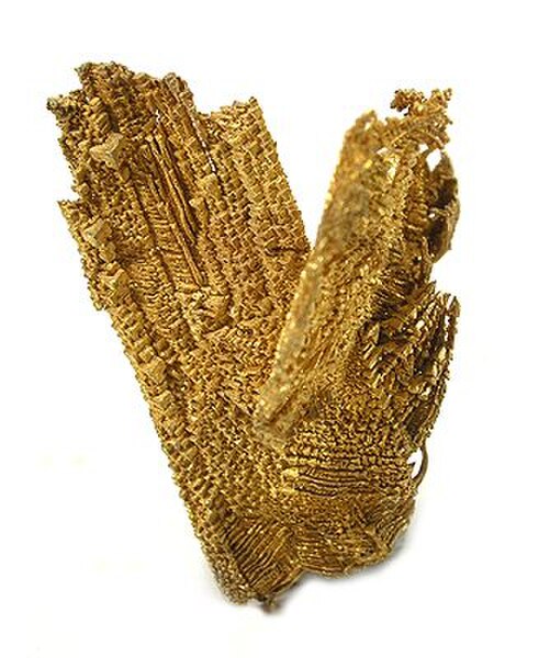
Gold specimen from the Round Mountain Gold Mine
Road from Carrara, Nevada, towards the marble quarry in the background