Mount Mantalingahan is the highest mountain in the island province of Palawan in the Philippines, with an elevation of 6,844 ft (2,086 m) above sea level, its ranked 68th-highest peak of an island on Earth and 10th-most prominent mountain in the Philippines. Located in the southern part of Palawan Island that forms the highest part of the Beaufort Mountains Ultramafics geological region, a series of ultramafic outcrops of Eocene origin, of which Mount Victoria forms the largest contiguous land area. The peak of the mountain is the highest point on Palawan island.
The mountain as seen from Ransang, 4 July 2007
Palawan, officially the Province of Palawan, is an archipelagic province of the Philippines that is located in the region of Mimaropa. It is the largest province in the country in terms of total area of 14,649.73 km2 (5,656.29 sq mi). The capital and largest city is Puerto Princesa wherein it is geographically grouped but administered independently from the province. Palawan is known as the Philippines' Last Frontier and as the Philippines' Best Island.
Image: Kayangan Lake, Coron Palawan
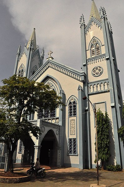
Image: Immaculate Conception Cathedral, Puerto Princesa, Palawan
Image: El Nido Pure Paradise panoramio
Image: Couple in North Cay island, Busuanga


