Mount Pleasant (Washington, D.C.)
Videos
Page
Mount Pleasant is a neighborhood in Washington, D.C., located in Northwest D.C. The neighborhood is primarily residential, with restaurants and stores centered along a commercial corridor on Mt. Pleasant Street. Mount Pleasant is known for its unique identity and multicultural landscape, home to diverse groups such as the punk rock, the Peace Corps and Hispanic Washingtonian communities.

Image: Mount Pleasant library (4356776281) (cropped)
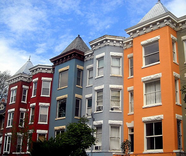
Image: Mount Pleasant Historic District (cropped)

Image: Mount Pleasant Street NW (cropped)

Image: Francis Asbury statue 1435 (cropped)
Northwest (Washington, D.C.)
Videos
Page
Northwest is the northwestern quadrant of Washington, D.C., the capital of the United States, and is located north of the National Mall and west of North Capitol Street. It is the largest of the four quadrants of the city, and it includes the central business district, the Federal Triangle, and the museums along the northern side of the National Mall, as well as many of the District's historic neighborhoods.

Color-enhanced USGS satellite image of Washington, D.C. with the crosshairs marking the quadrant divisions of Washington, D.C., with the U.S. Capitol at the center of the dividing lines. To the west of the Capitol extends the National Mall, visible as a slight green band in the image. The Northwest quadrant is the largest, located north of the Mall and west of North Capitol Street.
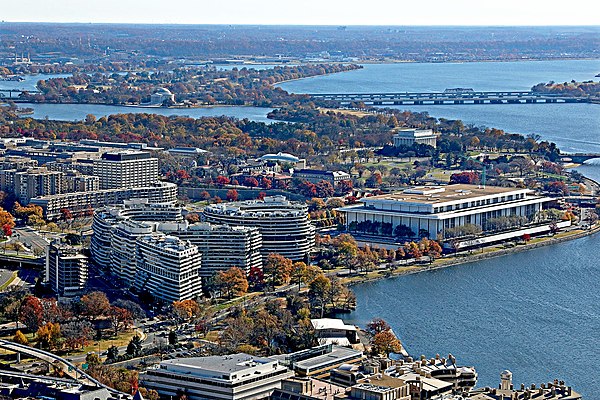
The Watergate complex (left) and the Kennedy Center (right) in the Foggy Bottom neighborhood

Washington National Cathedral

Francis Scott Key Bridge