Sage Mountain National Park is a protected area of the British Virgin Islands. It is named after the highest peak of the island of Tortola, Mount Sage. The Mount Sage volcanic peak rises to a height of 1,716 feet (523 m), and is thus the highest point in all of the Virgin Islands. The park is located to the southwest of the island group's capital, Road Town. The park, which includes the mountain range, extends over an area of 96 acres (39 ha). The vegetation is of semi-rain forest type. There are many trails for trekking and hiking.
Forest in Tortola
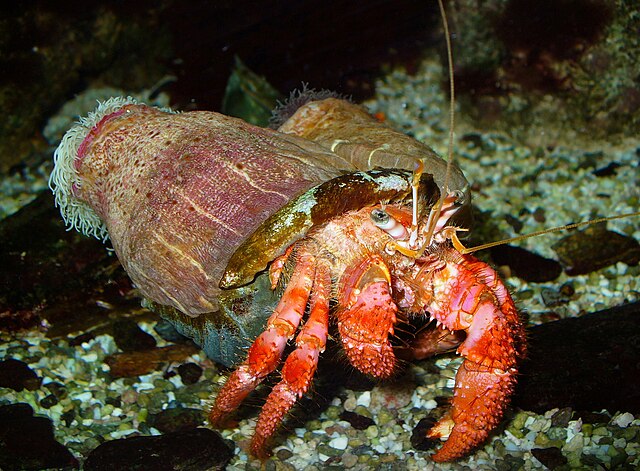
Hermit Crab
The British Virgin Islands (BVI), officially the Virgin Islands, are a British Overseas Territory in the Caribbean, to the east of Puerto Rico and the US Virgin Islands and north-west of Anguilla. The islands are geographically part of the Virgin Islands archipelago and are located in the Leeward Islands of the Lesser Antilles and part of the West Indies.
The ruins of St. Phillip's Church, Tortola, one of the most important historical ruins in the territory
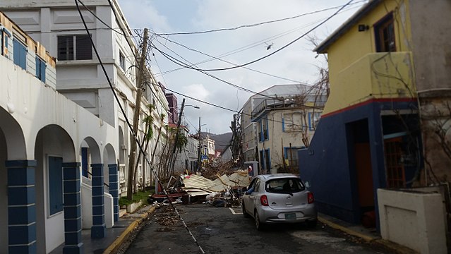
Damage in Road Town following Hurricane Irma
Hurricane Maria struck a week after Hurricane Irma
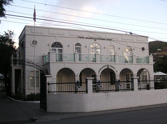
Legislative Council building in Road Town. The High Court sits upstairs.