Mount San Antonio, commonly referred to as Mount Baldy or Old Baldy, is a 10,064 ft (3,068 m) summit in the San Gabriel Mountains on the border of Los Angeles and San Bernardino counties of California. Lying within the San Gabriel Mountains National Monument and Angeles National Forest, it is the high point of the range, the County of Los Angeles, and the Los Angeles metropolitan area.
South face of Mt. San Antonio, seen above Upland, California
San Antonio Creek on Mount San Antonio
Proterozoic San Gabriel Gneiss Boulder on Mount San Antonio
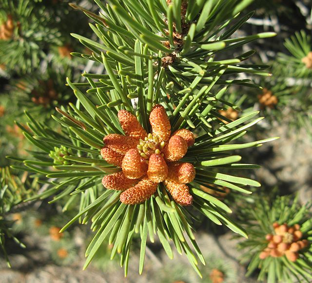
A cluster of pollen-bearing male cones of lodgepole pine on Mount San Antonio at around 8,500 ft
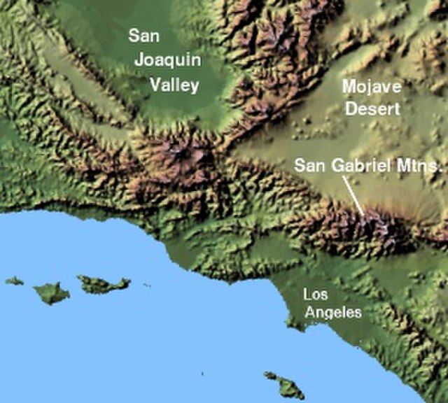
The San Gabriel Mountains comprise a mountain range located in northern Los Angeles County and western San Bernardino County, California, United States. The mountain range is part of the Transverse Ranges and lies between the Los Angeles Basin and the Mojave Desert, with Interstate 5 to the west and Interstate 15 to the east. The range lies in, and is surrounded by, the Angeles and San Bernardino National Forests, with the San Andreas Fault as its northern border.
Summits in the eastern San Gabriel Mountains, Angeles National Forest, San Bernardino County, California. The main peaks are: Telegraph Peak 8,985 feet (2,739 m) (left), Cucamonga Peak, 8,859 feet (2,700 m) (center), and Ontario Peak 8,693 feet (2,650 m) (center right), as seen from Baldy Bowl on Mount Baldy.
Image: Wpdms shdrlfi 020l san gabriel mountains
East Fork San Gabriel River canyon, looking west.
Mount Harwood, from Devils Backbone


