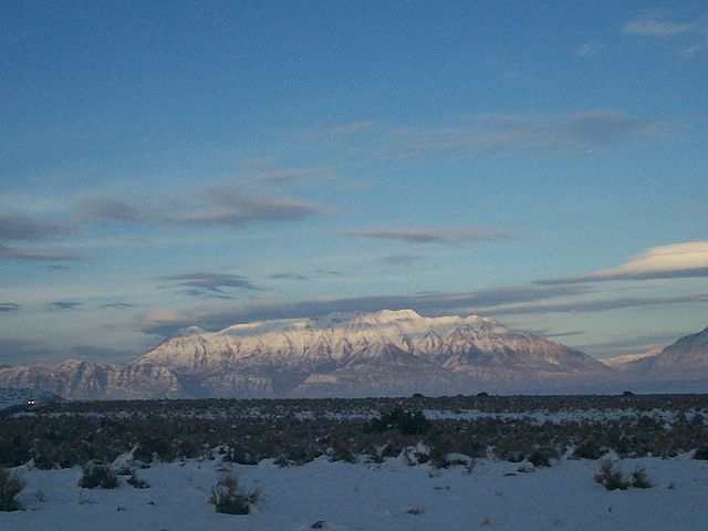
Mount Timpanogos, often referred to as Timp, is the second-highest mountain in Utah's Wasatch Range. Timpanogos rises to an elevation of 11,752 ft (3,582 m) above sea level in the Uinta-Wasatch-Cache National Forest. With 5,270 ft (1,610 m) of topographic prominence, Timpanogos is the 47th-most prominent mountain in the contiguous United States.
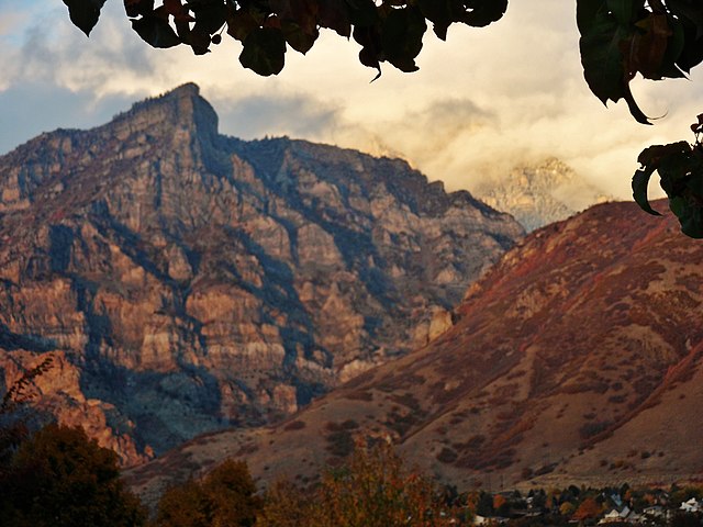
Mt. Timpanogos from Provo
Mount Timpanogos is visible from much of Utah County.
Radial Engine from a 1955 B-25 crash site. The Mount Timpanogos peak is in the background.
View of Mount Timpanogos from Timpooneke trail
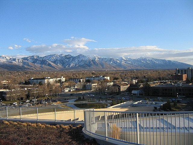
The Wasatch Range or Wasatch Mountains is a mountain range in the western United States that runs about 160 miles (260 km) from the Utah-Idaho border south to central Utah. It is the western edge of the greater Rocky Mountains, and the eastern edge of the Great Basin region. The northern extension of the Wasatch Range, the Bear River Mountains, extends just into Idaho, constituting all of the Wasatch Range in that state.
View of the Wasatch Range from the Salt Lake City Public Library, January 2006
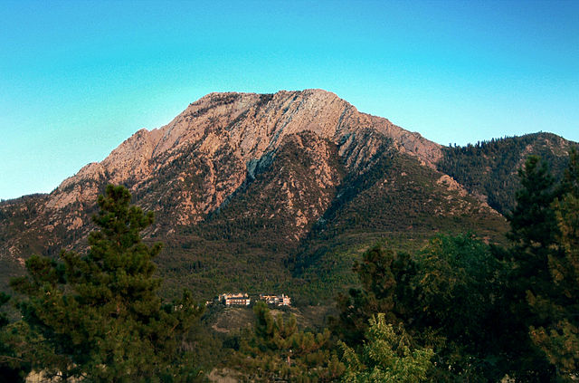
Mount Olympus, a prominent and recognizable mountain visible from much of the Salt Lake Valley, August 2005
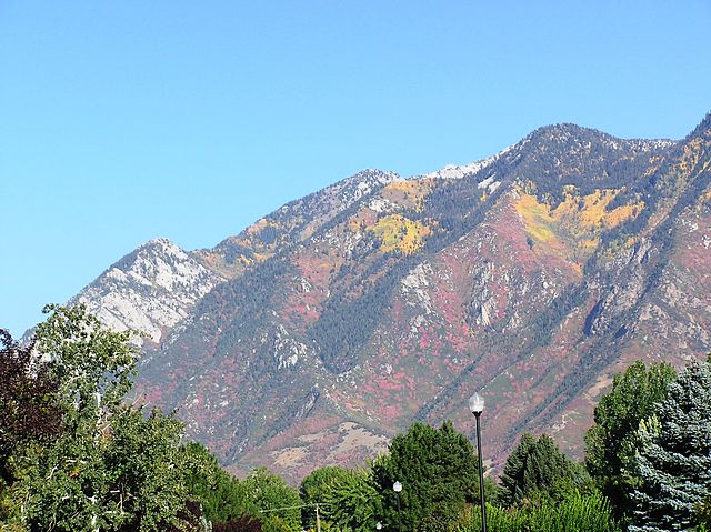
The Wasatch Mountains in the fall, September 2003
Kyhv Peak over Rock Canyon at sunset as seen from the campus of Brigham Young University in Provo, August 2012.