Muhammad al-Idrisi
Videos
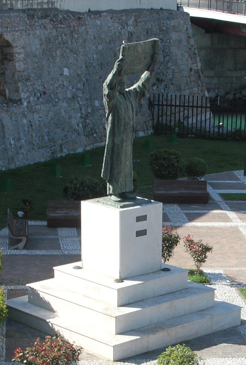
Abu Abdullah Muhammad al-Idrisi al-Qurtubi al-Hasani as-Sabti, or simply al-Idrisi, was a Muslim geographer and cartographer who served in the court of King Roger II at Palermo, Sicily. Muhammad al-Idrisi was born in Ceuta, then belonging to the Almoravid dynasty. He created the Tabula Rogeriana, one of the most advanced medieval world maps.

Al-Idrisi's description of Finland
Granada
Videos
Granada is the capital city of the province of Granada, in the autonomous community of Andalusia, Spain. Granada is located at the foot of the Sierra Nevada mountains, at the confluence of four rivers, the Darro, the Genil, the Monachil and the Beiro. Ascribed to the Vega de Granada comarca, the city sits at an average elevation of 738 m (2,421 ft) above sea level, yet is only one hour by car from the Mediterranean coast, the Costa Tropical. Nearby is the Sierra Nevada Ski Station, where the FIS Alpine World Ski Championships 1996 were held.


Image: Alhambra evening panorama Mirador San Nicolas s RGB 1 (cropped)

Image: Granada (25987961022)

Image: Alhambra El Partal (cropped) (cropped)

Image: Granada Cathedral Front