Murrumbidgee River
Videos
The Murrumbidgee River is a major tributary of the Murray River within the Murray–Darling basin and the second longest river in Australia. It flows through the Australian state of New South Wales and the Australian Capital Territory, descending 1,500 metres (4,900 ft) over 1,485 kilometres (923 mi), generally in a west-northwesterly direction from the foot of Peppercorn Hill in the Fiery Range of the Snowy Mountains towards its confluence with the Murray River near Boundary Bend.

Murrumbidgee River at Wagga Wagga
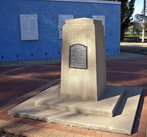
Charles Sturt Monument located at Wagga Beach in Wagga Wagga

Murrumbidgee River in major flood in December 2010 and flood marker showing the height of the 1974 floods in Wagga Wagga

Bridge over the Murrumbidgee at Carrathool.
Murray River
Videos
The Murray River is a river in Southeastern Australia. It is Australia's longest river at 2,508 km (1,558 mi) extent. Its tributaries include five of the next six longest rivers of Australia. Together with that of the Murray, the catchments of these rivers form the Murray–Darling basin, which covers about one-seventh the area of Australia. It is widely considered Australia's most important irrigated region.

Lower course of the Murray River at Murray Bridge

The confluence of the Murray River and Murrumbidgee River near the town of Boundary Bend

The confluence of the Darling and Murray Rivers at Wentworth, New South Wales

Murray Mouth viewed from Hindmarsh Island