Mysore district, officially Mysuru district, is an administrative district located in the southern part of the state of Karnataka, India. It is the administrative headquarters of Mysore division. Chamarajanagar District was carved out of the original larger Mysore District in the year 1998. The district is bounded by Chamrajanagar district to the southeast, Mandya district to the east and northeast, Kerala state to the south, Kodagu district to the west, and Hassan district to the north.
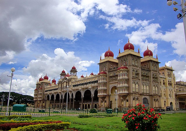
Image: Mysore Palace Amba Vilas Palace
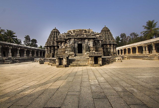
Image: Chennakesava Temple View from Front entrance
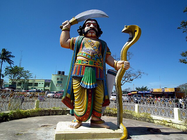
Image: Mahishasura, Chamundi Mysore
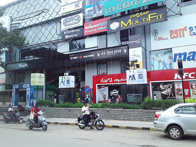
Image: B.M.Mall, Jayalakshmipuram, Mysore
Mysore division, officially Mysuru division, is an administrative division in the southern Indian state of Karnataka. It is one of four administrative divisions in Karnataka, the others being Bangalore division, Belagavi division, and Kalaburagi division. Mysore division comprises eight districts of Karnataka, namely, Chamarajanagar, Chikmagalur, Dakshina Kannada, Hassan, Kodagu, Mandya, Mysore and Udupi district. The city of Mysore is the administrative headquarters of the division. Mysore division covers parts of historical Old Mysore region and southern part of Coastal Karnataka.The total area of the division is 43,503 sq.km. The total population as of 2011 census is 12,563,598.
Office of the Regional Commissioner, Mysore; headquarters of Mysore division
Image: Regional Commissioner's Office, Mysore (02)
Image: Regional Commissioner's Office, Mysore (04)
Image: Regional Commissioner's Office, Mysore (01)


