Nagaland is a landlocked state in the north-eastern region of India. It is bordered by the Indian states of Arunachal Pradesh to the north, Assam to the west, Manipur to the south, and the Naga Self-Administered Zone of the Sagaing Region of Myanmar (Burma) to the east. Its capital city is Kohima and its largest city is the twin Chümoukedima–Dimapur. The state has an area of 16,579 square kilometres (6,401 sq mi) with a population of 1,980,602 as per the 2011 Census of India, making it one of the smallest states of India.
Image: Kohima 24 July 2021
Image: Kapamodzu
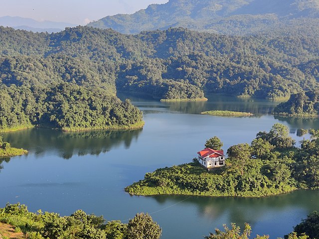
Image: Doyang Lake House
Image: Photograph of Dzukou Valley in Manipur Nagaland border by Saurabh Sawant
States and union territories of India
India is a federal union comprising 28 states and 8 union territories, for a total of 36 entities. The states and union territories are further subdivided into districts and smaller administrative divisions.
Administrative divisions of the Indian Empire in 1909
Administrative divisions of the Union of India in 1949