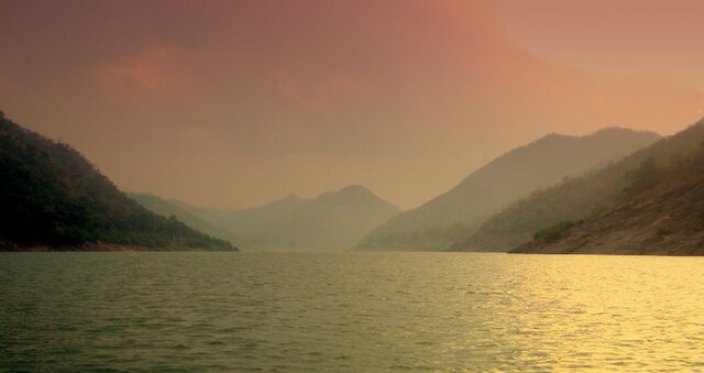
The Nallamalas are a section of the Eastern Ghats which forms the eastern boundary of Rayalaseema region of the state of Andhra Pradesh and Nagarkurnool district of the state of Telangana, in India. They run in a nearly north–south alignment, parallel to the Coromandel Coast for close to 430 km between the rivers, Krishna and Pennar. Its northern boundaries are marked by the flat Palnadu basin while in the south it merges with the Tirupati hills. An extremely old system, the hills have extensively weathered and eroded over the years. The average elevation today is about 520 m which reaches 1100 m at Bhairani Konda and 1048 m at Gundla Brahmeswara. Both of these peaks are in a north westerly direction from the town of Cumbum. There are also many other peaks above 800m.
The Nallamalas Hills
Nallamalla forests at Srisailam
The Nallamallas from a distance during the dry season
Sunflower cultivation at the foot of Cumbum at the Nallamalas
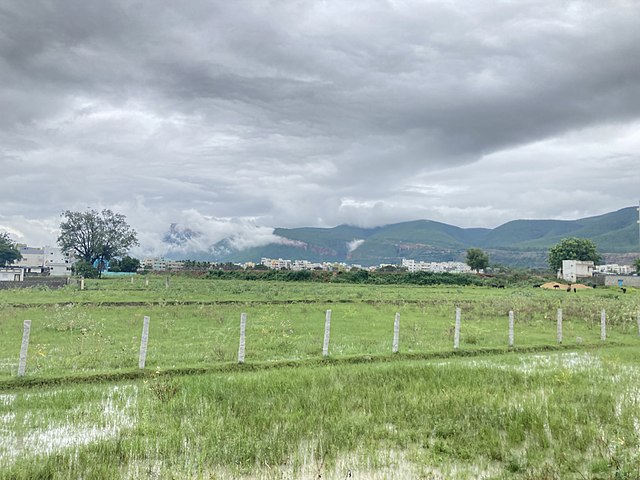
The Eastern Ghats are a discontinuous range of mountains along India's eastern coast. The Eastern Ghats pass through the states of Odisha and Andhra Pradesh to Tamil Nadu by, passing parts of Karnataka and Telangana on the way. They are eroded and cut through by four major rivers of peninsular India, the Mahanadi, Godavari, Krishna and Kaveri. Zindagad Konda is the highest point in both Andhra Pradesh and the Eastern Ghats at 1,690 metres (5,540 ft). The Biligiriranga Hills in Karnataka are the tallest hill range in the Eastern Ghats, with many peaks above 1500 m in height.
Godavari River at Papi Hills of the Eastern Ghats in Andhra Pradesh
Eastern Ghats near Kadapa, Andhra Pradesh
Long view of Seshachalam Hills
Mahanadi River flowing through Eastern Ghats