Nathia Gali or Nathiagali is a hill station and mountain resort town located in the Abbottabad District of Khyber Pakhtunkhwa, Pakistan. It is located at the centre of the Galyat range, where several hill stations are situated. Nathia Gali is known for its scenery, hiking trails and weather, which is much cooler than the rest of the Galyat range due to it being at a higher altitude. It is situated approximately 32 kilometres (20 mi) away from both Murree and Abbottabad.
Nathia Gali's St. Matthew's Church, which was built during British colonial rule, photographed in 2014
A Park in Nathia Gali
Monkeys (like the rhesus macaque (Macaca mulatta) in this photo) are frequently sighted in Nathia Gali and its surroundings
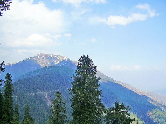
A view of Miranjani peak from Nathiagali
Abbottabad is the capital city of Abbottabad District in the Hazara region of eastern Khyber Pakhtunkhwa, Pakistan. It is the 40th largest city in Pakistan and fourth largest in the province of Khyber Pakhtunkhwa by population. It is about 120 km (75 mi) north of Islamabad-Rawalpindi and 150 km (95 mi) east of Peshawar, at an elevation of 1,256 m (4,121 ft). Kashmir lies a short distance to the east.
From top, left to right: City view, Mushkpuri top, View of Abbottabad from Shimla Hill
Image: Abbottabad City view
Image: View at mukshpuri top Nathiagali Hills,Abbottabad District,Khyber Pakhtunkhwa
Image: View 5 at mukshpuri top Nathiagali Hills,Abbottabad District,Khyber Pakhtunkhwa