National Express West Midlands
National Express West Midlands (NXWM), also operating under the West Midlands Bus brand identity, is an English bus operator in the West Midlands, a subsidiary of Mobico Group. It is the largest bus operator in the region and one of the single largest in Britain.
National Express West Midlands
BYD Alexander Dennis Enviro400EV in Birmingham city centre in July 2020
A West Midlands Travel MCW Metrobus in Birmingham in April 1993
Two Travel West Midlands buses at Wolverhampton bus station in 2008 in the classic red-white-blue livery
Mobico Group, formerly National Express Group, is a British multinational public transport company with headquarters in Birmingham, England. Domestically it currently operates bus and coach services under brands including National Express. The company also operates transport services including trains abroad: in the Republic of Ireland, United States, Canada, Spain, Portugal, Malta, Germany, Bahrain, and Morocco, and long-distance coach services across Europe.
Duple Dominant bodied Leyland Tiger in Liverpool in 1982 in the original livery
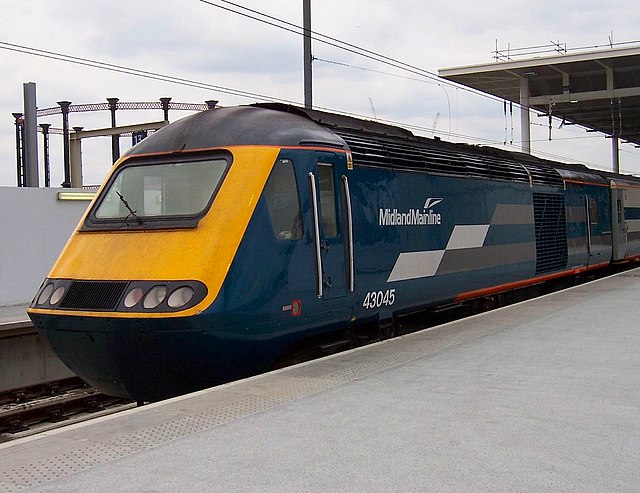
Midland Mainline High Speed Train at London St Pancras
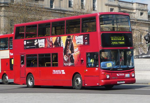
Travel London Alexander ALX400 bodied Dennis Trident 2 at Trafalgar Square in April 2008
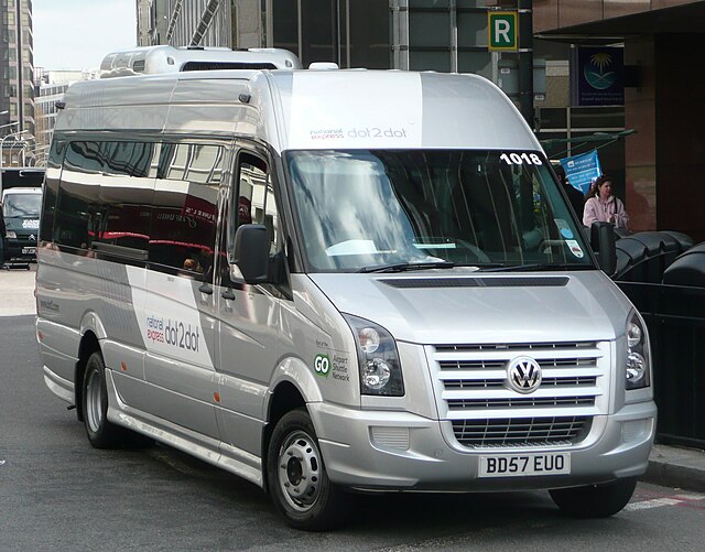
Dot2Dot Volkswagen in London in April 2008