National Highways Authority of India
The National Highways Authority of India or NHAI is an autonomous agency of the Government of India, set up in 1995 and is responsible for management of a road network of over 50,000 km of National highways out of 1,32,499 km in India. It is a nodal agency of the Ministry of Road Transport and Highways (MoRTH). NHAI has signed a memorandum of understanding (MoU) with the Indian Space Research Organisation (ISRO) for satellite mapping of highways.
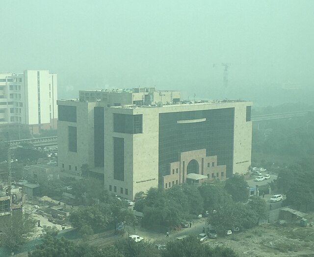
Headquarters of the NHAI at Sector 10, Dwarka in New Delhi, India.
NHAI logo and caption
National highways of India
The national highways in India are a network of trunk roads owned by the Ministry of Road Transport and Highways. National highways have flyover access or some controlled-access, where entrance and exit is through the side of the flyover. At each highway intersection, flyovers are provided to bypass the traffic on the city, town, or village. These highways are designed for speeds of 100 km/h. Some national highways have interchanges in between, but do not have total controlled-access throughout the highways. The highways are constructed and managed by the Central Public Works Department (CPWD), the National Highways and Infrastructure Development Corporation Limited (NHIDCL), and the public works departments (PWD) of state governments. Currently, the longest national highway in India is National Highway 44 at 4,112 km. India started four laning of major national highways with the National Highway Development Project (NHDP). As of March 2022 India have approximately 35,000 km of four laned National highways.

Entrance of National Highway 44, the longest National Highway in India (from Srinagar to Kanyakumari)
Vijaywada-Guntur expressway, a section of NH-16
National Highway 27 in Gujarat
A section of National Highway 24 in Bareilly, Uttar Pradesh


