New Guinea Highlands
Videos
Page
The New Guinea Highlands, also known as the Central Range or Central Cordillera, is a long chain of mountain ranges on the island of New Guinea, including the island's tallest peak, Puncak Jaya, Indonesia, 16,024 ft (4,884 m), the highest mountain in Oceania. The range is home to many intermountain river valleys, many of which support thriving agricultural communities. The highlands run generally east-west the length of the island, which is divided politically between Indonesia in the west and Papua New Guinea in the east.
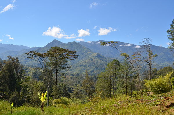
Landscape in the New Guinea Highlands

A Yali village in Ilugwa, Central Mamberamo, Highland Papua
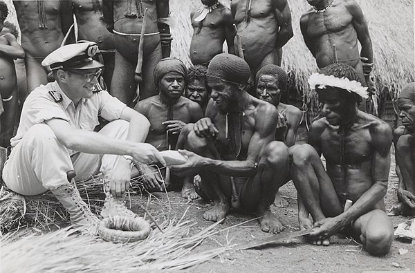
Dutch officer in Baliem Valley, 1958

Mount Bosavi
New Guinea
Videos
Page
New Guinea is the world's second-largest island, with an area of 785,753 km2 (303,381 sq mi). Located in Melanesia in the southwestern Pacific Ocean, the island is separated from Australia by the 150-kilometre wide Torres Strait, though both landmasses lie on the same continental shelf, and were united during episodes of low sea level in the Pleistocene glaciations as the combined landmass of Sahul. Numerous smaller islands are located to the west and east. The island's name was given by Spanish explorer Yñigo Ortiz de Retez during his maritime expedition of 1545 due to the resemblance of the indigenous peoples of the island to those in the African region of Guinea.
Mount Bosavi

Highlands of Papua New Guinea

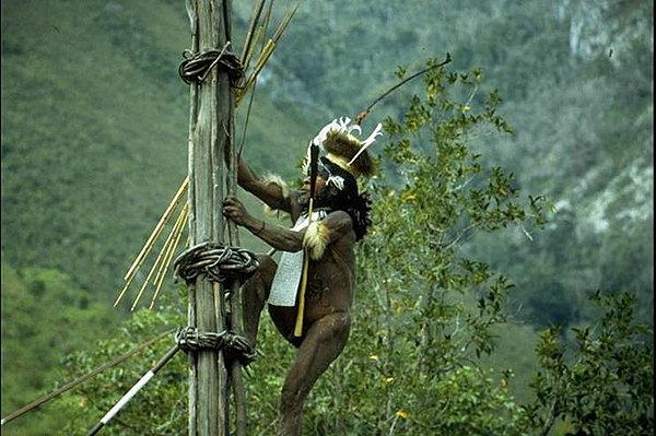
Yali tribesman in the Baliem Valley
Yali Mabel, Kurulu Village War Chief at Baliem Valley