New Jersey Route 183
Videos
Page
Route 183 is a 2.12-mile (3.41 km) long state highway in the northern regions of New Jersey. The southern end of the route is at an interchange with Interstate 80 and U.S. Route 206 (US 206) near Netcong, while the northern end is at an interchange with US 206 in Stanhope. The route heads northward through downtown Netcong and along the shores of Lake Musconetcong and enters Sussex County, New Jersey. The route is a former alignment of US 206 bypassed in 1973.
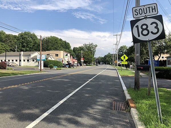
View south along Route 183 just south of Dell Road in Stanhope

Route 183 northbound at I-80/US 206 in Roxbury Township
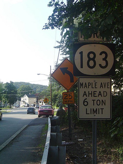
Route 183 heading northbound into downtown Netcong in June 2009, pre-elimination of the Netcong Circle.
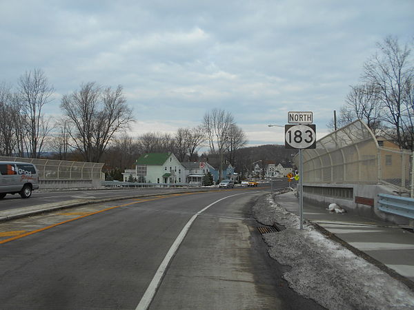
Route 183 heading northbound over the Montclair-Boonton Line in December 2014 after the elimination of the Netcong Circle.
Interstate 80 in New Jersey
Videos
Page
Interstate 80 (I-80) is a major Interstate Highway in the United States, running from San Francisco, California, eastward to the New York metropolitan area. In New Jersey, I-80 runs for 68.35 miles (110.00 km) from the Delaware Water Gap Toll Bridge at the Pennsylvania state line to its eastern terminus at I-95 in Teaneck, Bergen County. I-95 continues from the end of I-80 to the George Washington Bridge for access to New York City. The highway runs parallel to U.S. Route 46 (US 46) through rural areas of Warren and Sussex counties before heading into more suburban surroundings in Morris County. As the road continues into Passaic and Bergen counties, it heads into more urban areas. The New Jersey Department of Transportation (NJDOT) identifies I-80 within the state as the Christopher Columbus Highway.
View east along I-80 just after entering New Jersey within the Delaware Water Gap National Recreation Area
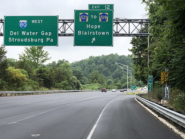
I-80 westbound at CR 521 exit in Hope Township
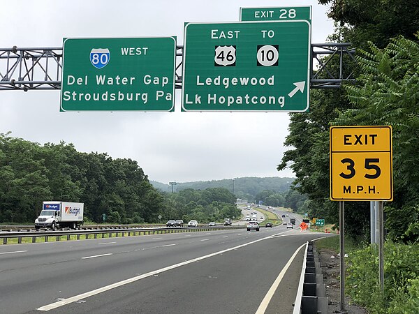
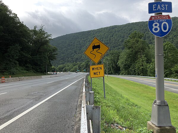
I-80 westbound at US 46 exit in Roxbury Township
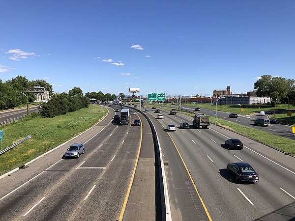
I-80 eastbound in Paterson