Route 26 is a state highway in New Jersey, United States, running 2.54 miles (4.09 km) along Livingston Avenue from U.S. Route 1 (US 1) in North Brunswick Township northeast to Nassau Street at the border of New Brunswick. Prior to the 1953 renumbering, the route continued southwest along US 1 to Trenton. Livingston Avenue inside New Brunswick, southwest of Suydam Street, is the 1.08-mile (1.74 km) County Route 691 (CR 691). The 0.39 miles (0.63 km) from Suydam Street to its end at George Street is part of Route 171, also maintained by Middlesex County.
Route 26 northbound past its beginning at US 1 in North Brunswick Township
Route 26 southbound past its beginning at Nassau Street on the border of North Brunswick Township and New Brunswick
The layout for the then-proposed Trenton and New Brunswick Turnpike Road
View northbound along Route 26 from US 1 in North Brunswick Township
U.S. Route 1 in New Jersey
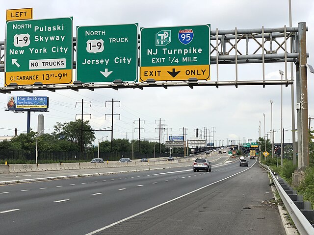
U.S. Route 1 (US 1) is a U.S. Route which parallels the East Coast of the United States, running from Key West, Florida, in the south to Fort Kent, Maine, at the Canadian border in the north. Of the entire length of the route, 66.06 miles (106.31 km) of it runs through New Jersey. It enters the state from Pennsylvania on the Trenton–Morrisville Toll Bridge over the Delaware River in the state capital of Trenton, running through the city on the Trenton Freeway. From here, US 1 continues northeast as a surface divided highway through suburban areas, heading into Middlesex County and passing through New Brunswick and Edison. US 1 merges with US 9 in Woodbridge, and the two routes continue through northern New Jersey as US 1/9 to the George Washington Bridge over the Hudson River in Fort Lee. At this point, the road continues into New York City along with I-95.
US 1 through downtown Trenton, looking north from the East State Street overpass
US 1 northbound past CR 638 in Lawrence Township
US 1 northbound past I-287 in Edison Township
US 1/9 northbound at the beginning of US 1/9 Truck in Newark