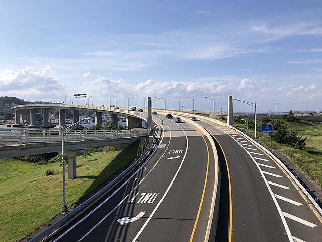
Route 36 is a state highway in Monmouth County, New Jersey, United States. The 24.40-mile (39.27 km) long route, shaped as a backwards C, begins at an intersection with the Garden State Parkway and County Route 51 on the border of Tinton Falls and Eatontown and runs east to Long Branch. From Long Branch, the route follows the Atlantic Ocean north to Sea Bright and turns west, running to the south of the Raritan Bay. Route 36 ends in Keyport at an interchange with the Garden State Parkway and Route 35. It varies in width from a six-lane divided highway to a two-lane undivided road. The route is signed east–west between Eatontown and Long Branch and north–south between Long Branch and Keyport.
Route 36 westbound at Route 18 in Eatontown
Route 36 eastbound past its southern terminus at the Garden State Parkway and CR 51 in Eatontown
Route 36 northbound across the Highlands–Sea Bright Bridge
Route 36 westbound past CR 7 in Middletown Township
Monmouth County, New Jersey
Monmouth County is a county, located in the central section of the U.S. state of New Jersey. Comprising much of the northern half of the Jersey Shore, it is bordered to its west by Mercer and Middlesex Counties, to its south by Ocean County, to its east by the Atlantic Ocean, and to its north by the Raritan Bay. Monmouth County's geographic area comprises 30% water. The county is considered part of the Central Jersey region of the state, though it was not among the four counties explicitly listed as included in Central Jersey as part of legislation signed into law in 2023.
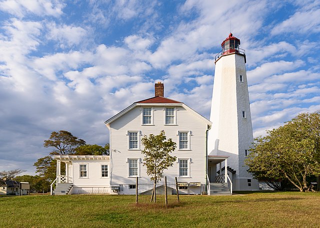
Sandy Hook Light in Sandy Hook, New Jersey
Seal
The Battle of Monmouth was fought on June 28, 1778
The Allentown Mill in Allentown