Route 64 is a 0.32-mile-long (0.51 km) state highway in the U.S. state of New Jersey. It is a state-maintained bridge over Amtrak's Northeast Corridor line in West Windsor. Route 64 begins at an intersection with County Route 526 and County Route 571 in West Windsor. It heads along the bridge to an intersection with County Route 615, where Route 64 ends. County Routes 526 and 571, which are concurrent with Route 64, continues to Hightstown.
The only Route 64 signage is this blade on the traffic light at its southern terminus
Route 64 northbound passing over the Northeast Corridor
West Windsor is a township in Mercer County, in the U.S. state of New Jersey. Located at the cross-roads between the Delaware Valley region to the southwest and the Raritan Valley region to the northeast, the township is considered to be an outer-ring suburb of New York City in the New York metropolitan area, as defined by the United States Census Bureau. As of the 2020 United States census, the township's population was 29,518, its highest decennial count ever and an increase of 2,353 (+8.7%) from the 27,165 recorded at the 2010 census, which in turn reflected an increase of 5,258 (+24.0%) from the 21,907 counted in the 2000 census.
War of the Worlds monument, Grover's Mill
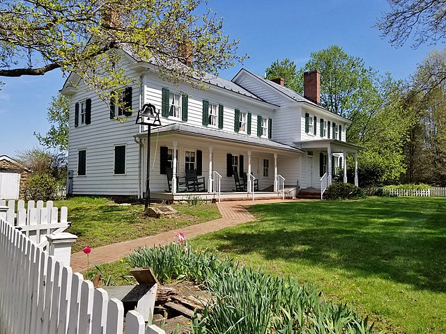
The c. 1790 Schenck Farmstead, at 50 Southfield Road, Functions as the West Windsor History Museum and the headquarters of the Historical Society of West Windsor.
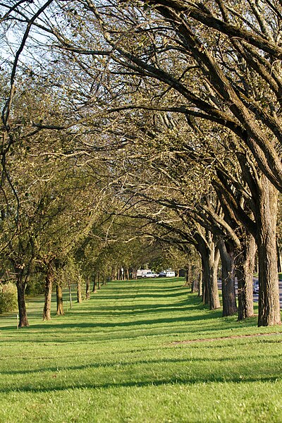
Washington Road Elm Allée
View west along the Assunpink Creek in West Windsor.