New York State Route 23B (NY 23B) is an east–west state highway located in western Columbia County, New York, in the United States. The route is a former section of NY 23 that runs for 6.71 miles (10.80 km) from NY 9G southwest of Hudson to NY 9H in Claverack-Red Mills. It provides direct access to the city of Hudson from the Rip Van Winkle Bridge whereas NY 23 bypasses it to the south. NY 23B was assigned in the late 1950s after NY 23 was moved onto its current alignment south of Hudson.
Along with US 9, NY 23B heads eastbound through Hudson.
New York State Route 23 (NY 23) is an east–west state highway in the eastern portion of New York in the United States. It extends for 156.15 miles (251.30 km) from an intersection with NY 26 in the Central New York town of Cincinnatus in Cortland County to the Massachusetts state line in the Berkshire Mountains, where it continues east as that state's Route 23. Along the way, it passes through many communities, including the cities of Norwich and Oneonta. Outside of the communities, the route serves largely rural areas of the state and traverses the Catskill Mountains in the state's Central New York Region. NY 23 crosses the Hudson River at Catskill via the Rip Van Winkle Bridge.
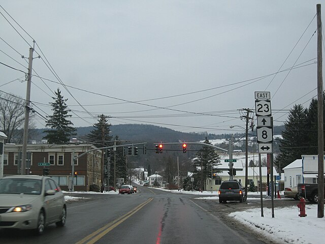
NY 23 east at NY 8 in South New Berlin
Old shields on NY 7 and NY 23 in Oneonta
Approaching US 9W on NY 23 near Catskill
NY 23 westbound after its brief concurrency with US 9 in Livingston


